|
Strauch/Bruno Web Photo Album Photos are arranged in chronological order with the most recent photos first. Select which thumbnail you want to see by clicking on it. To get back to this page, use your browser back arrow. Each batch of thumbnails has a brief description. A screen size of 800x600 pixels is used as a base but 640x480 and 1024x768 screens work fine too. Email us Tom, Laura, Matt or Kelsey. Search all the photo pages. |
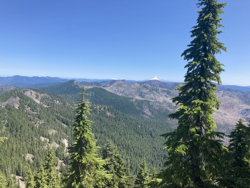
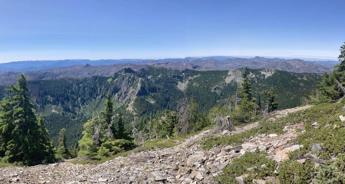
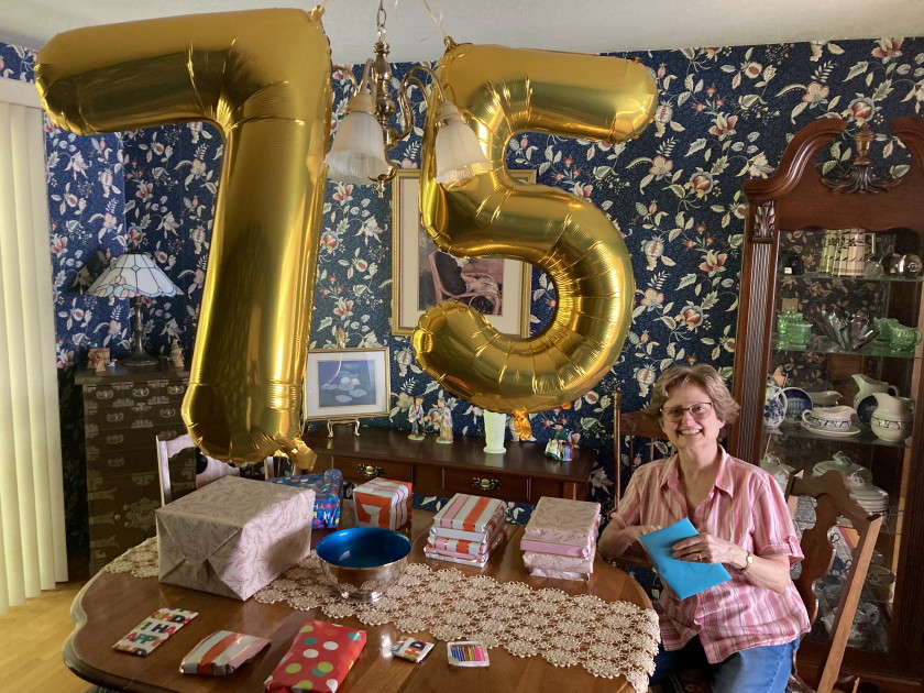
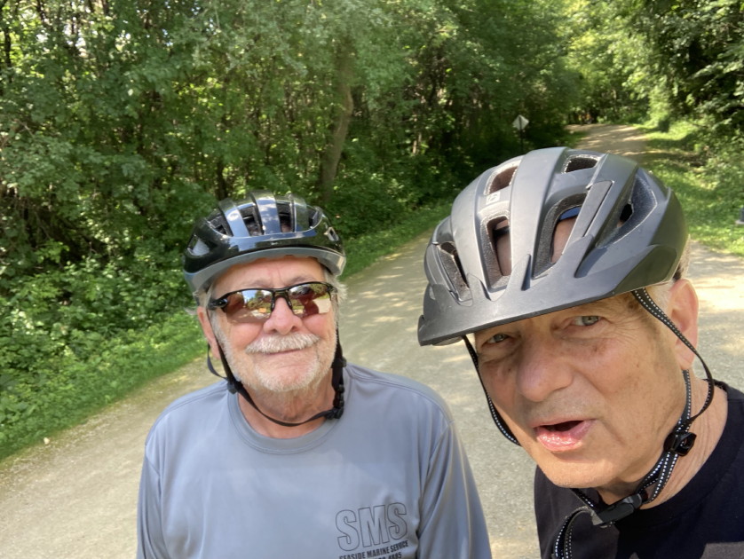
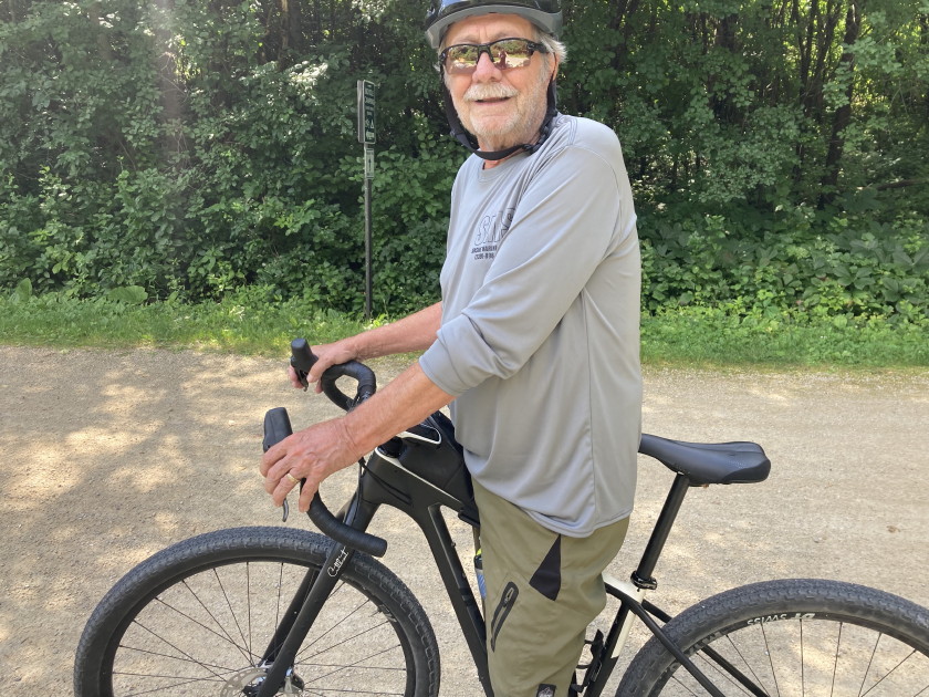
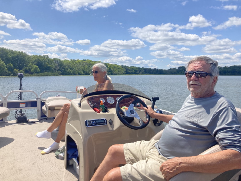
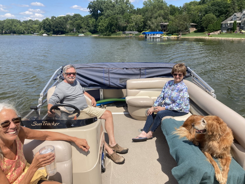
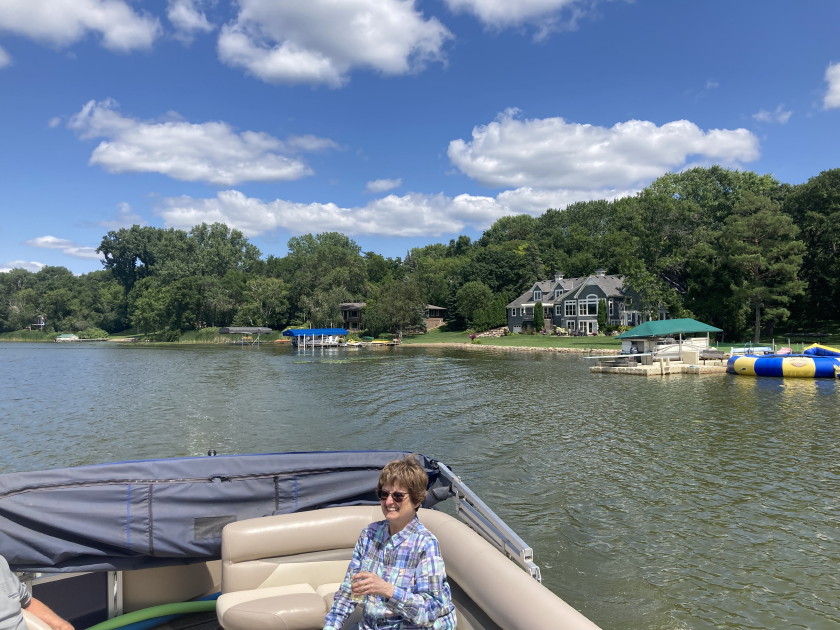
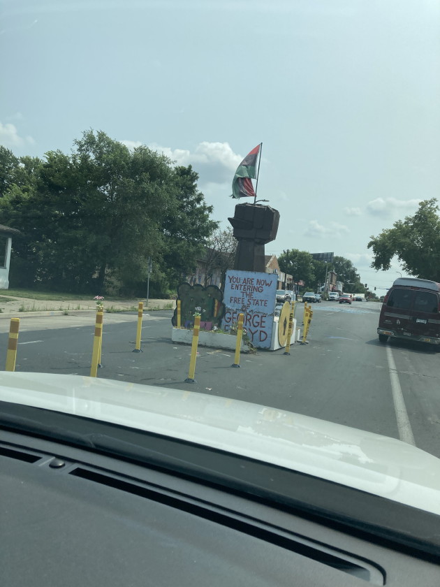
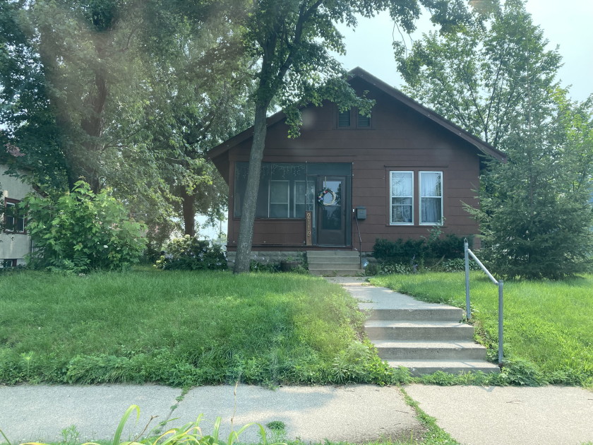
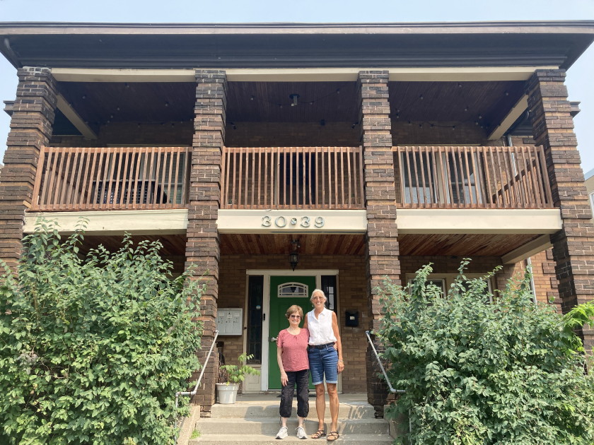
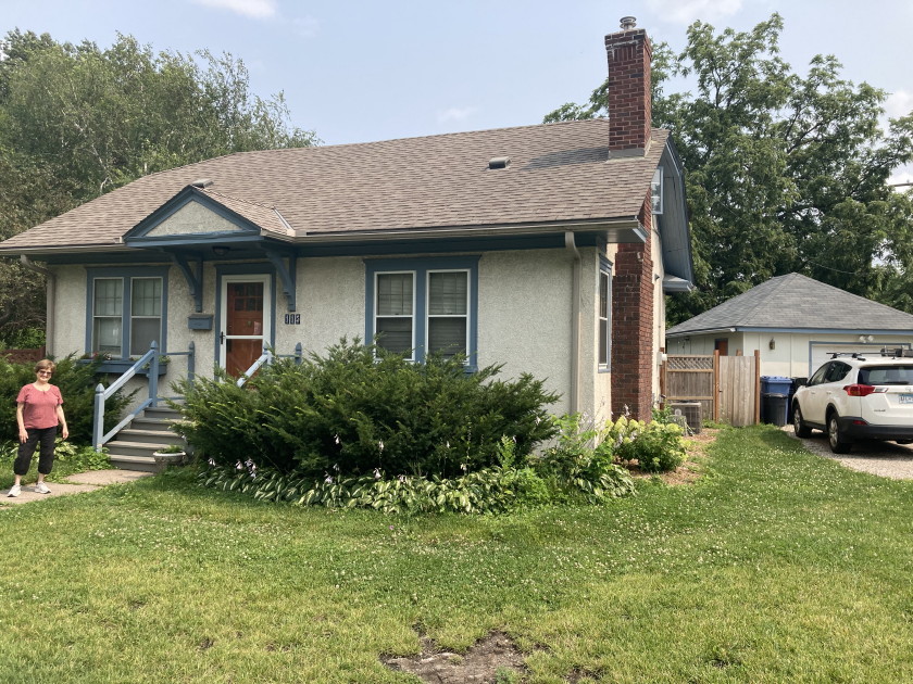
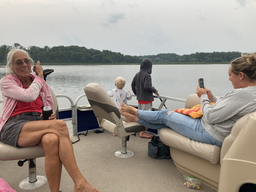
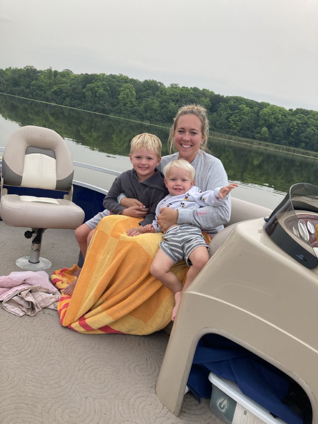
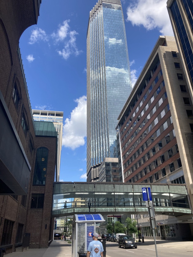
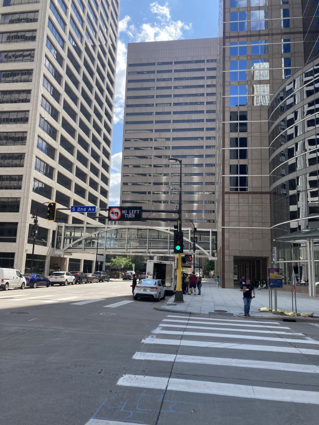
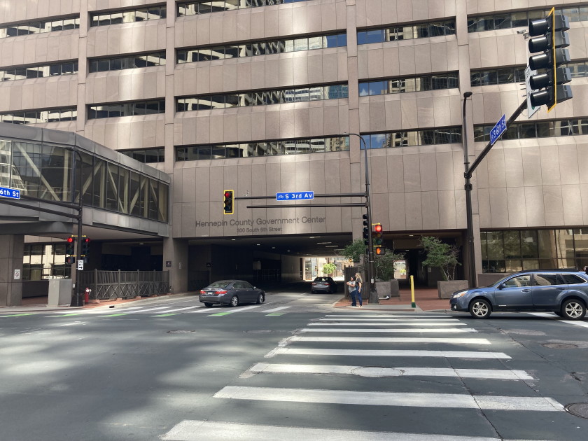
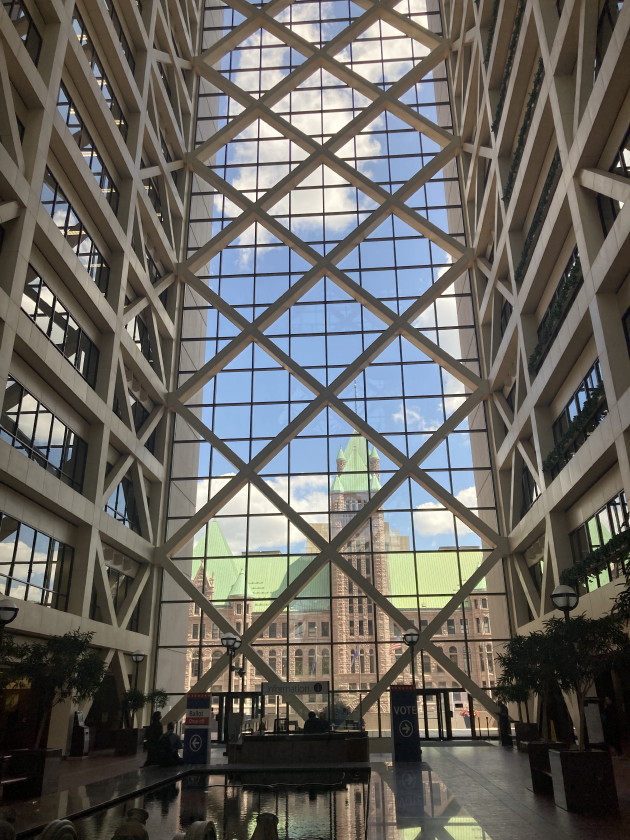
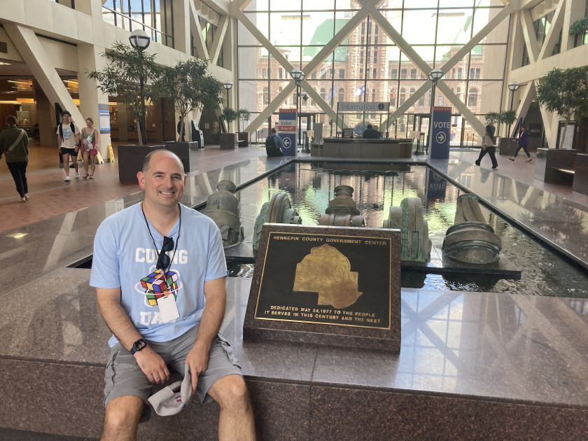
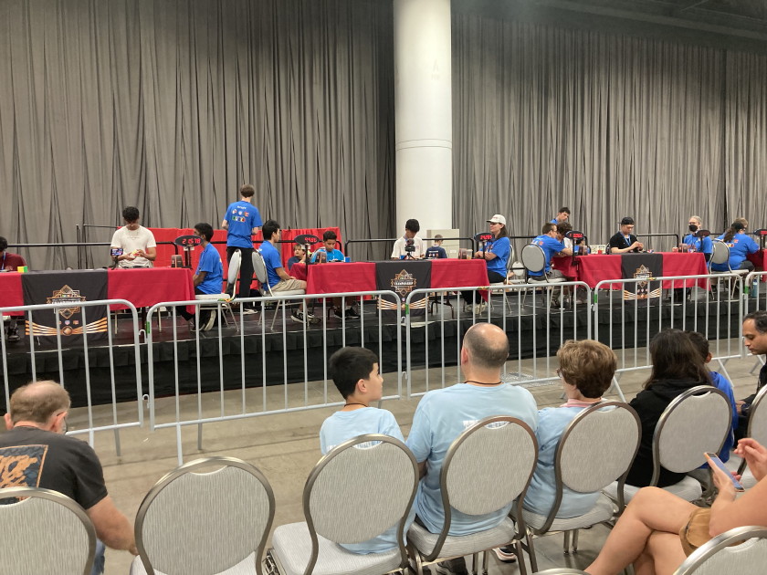
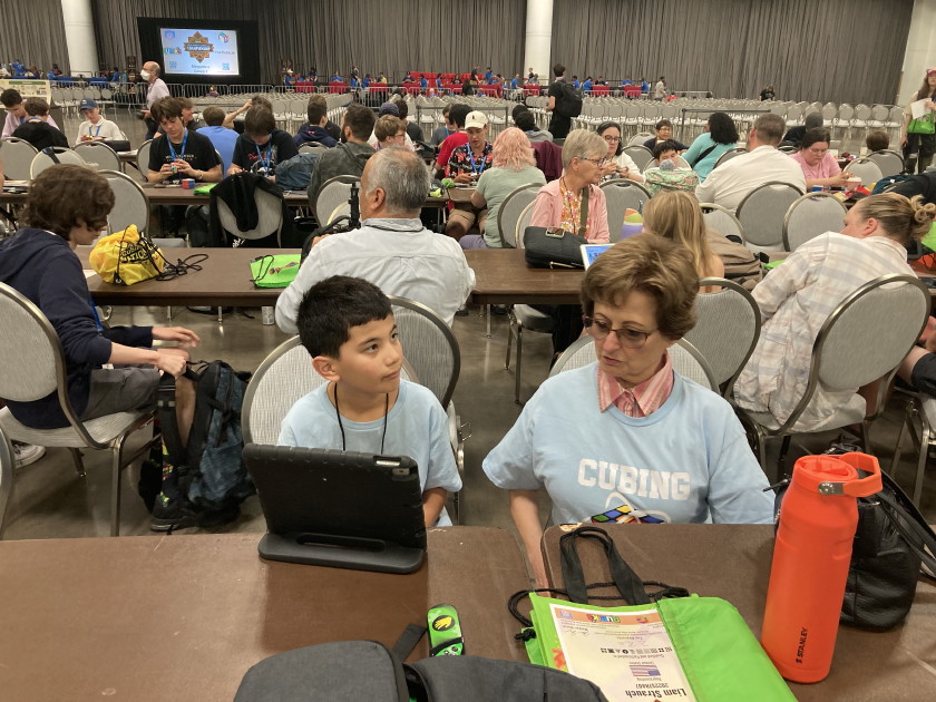
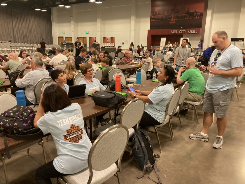
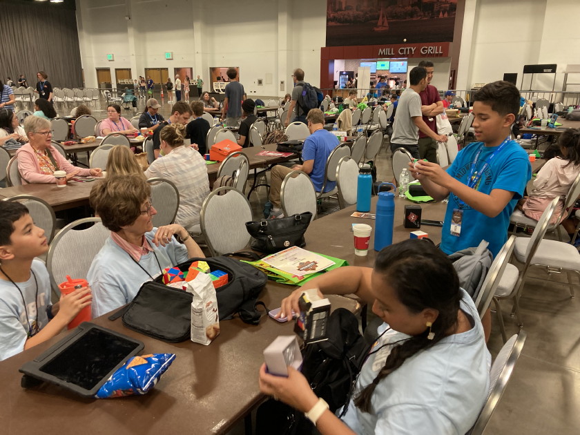
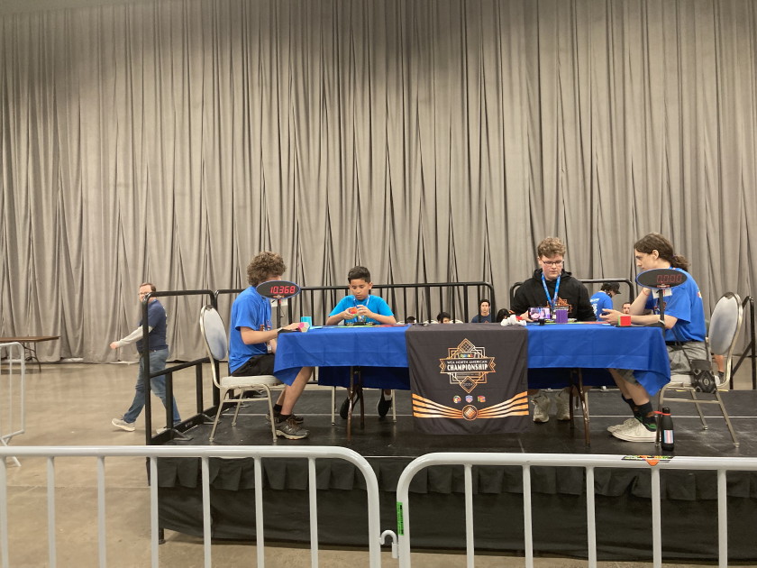
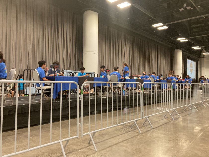
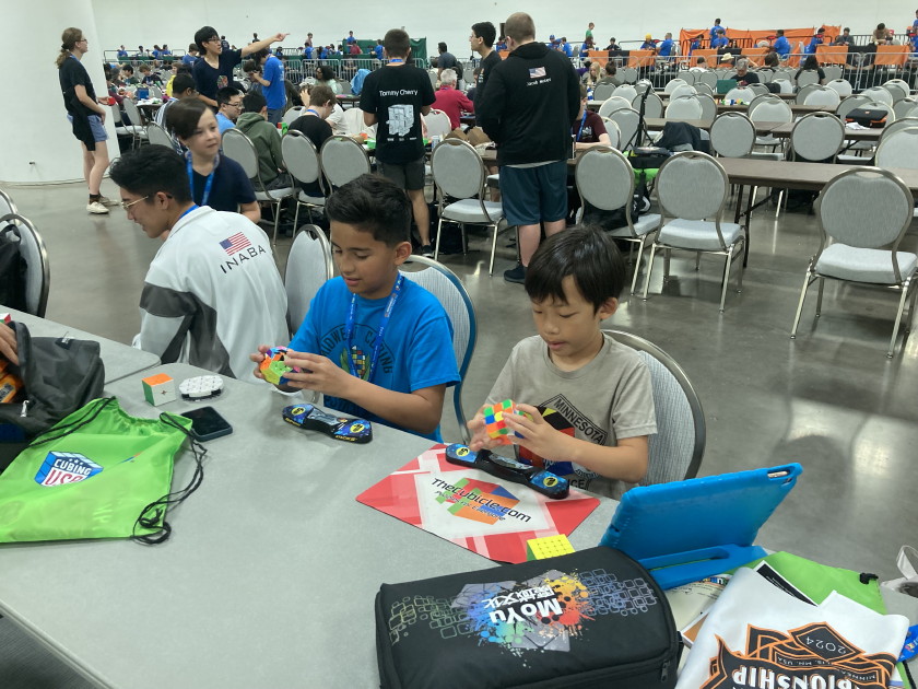
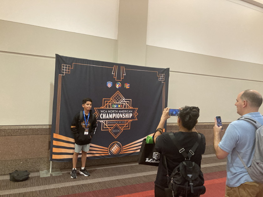
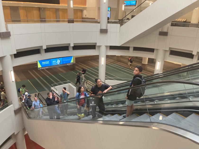
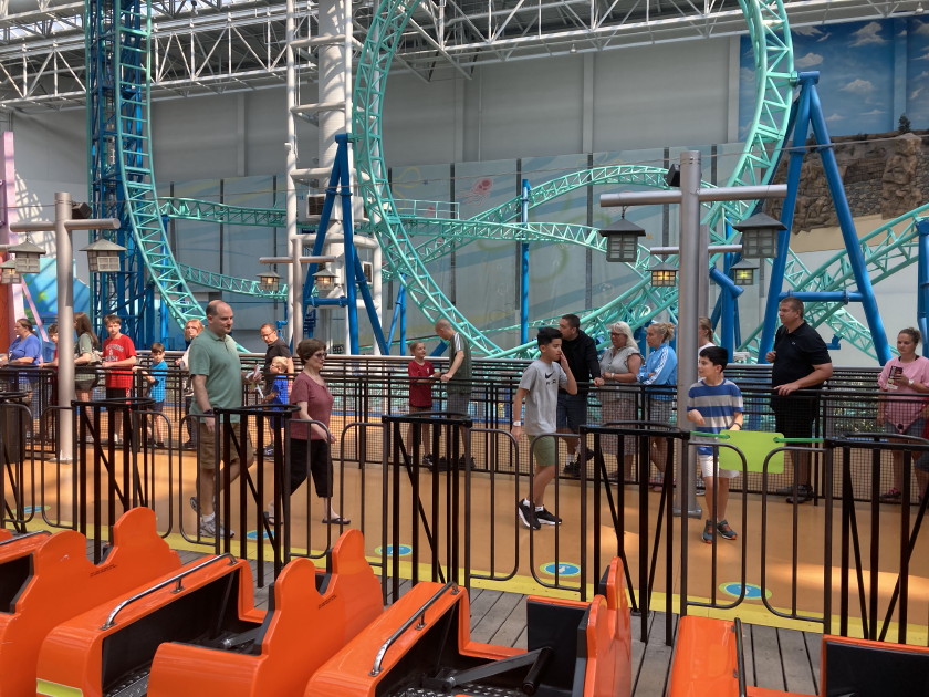
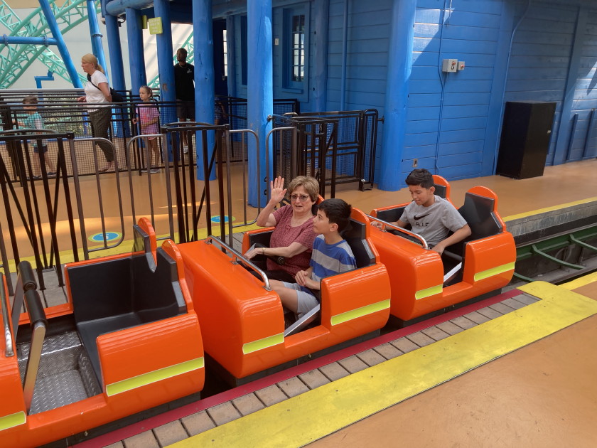
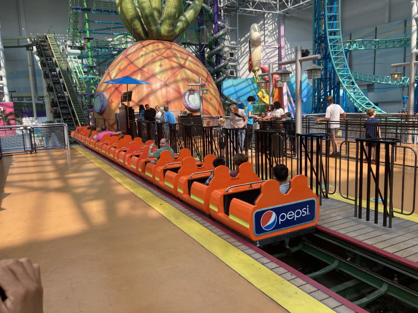
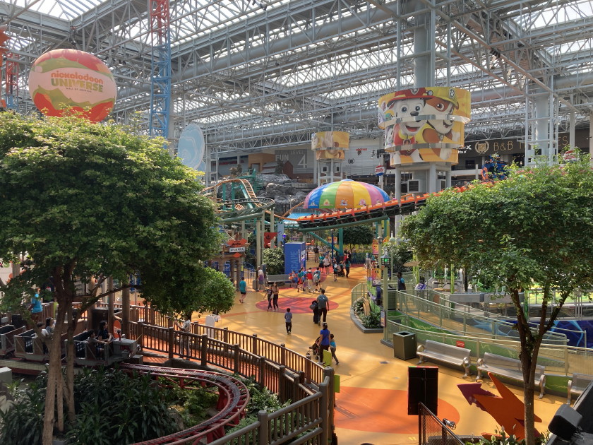
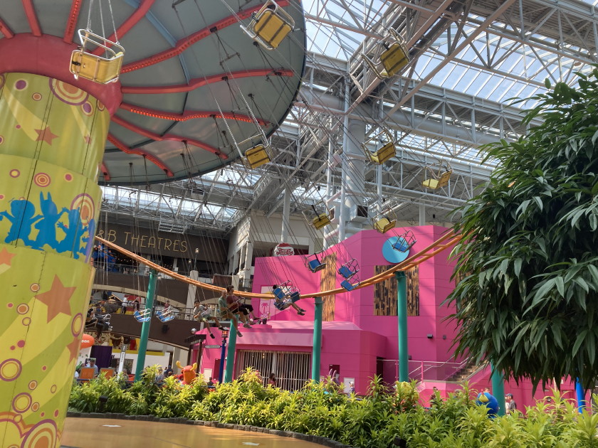
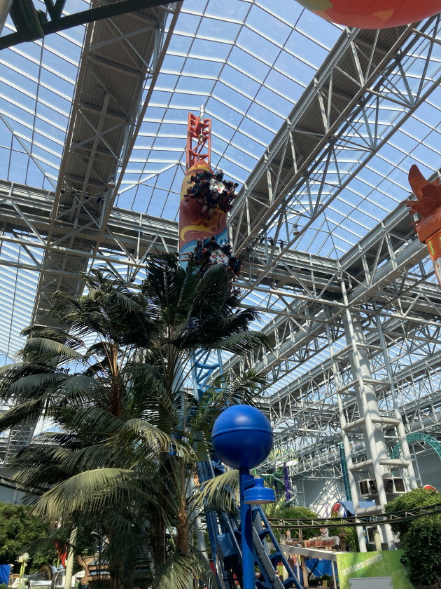
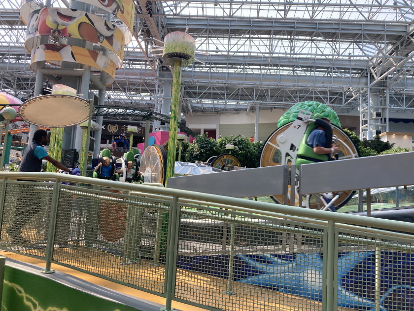
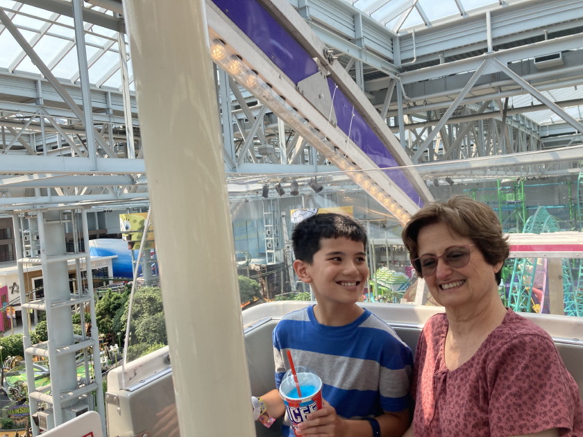
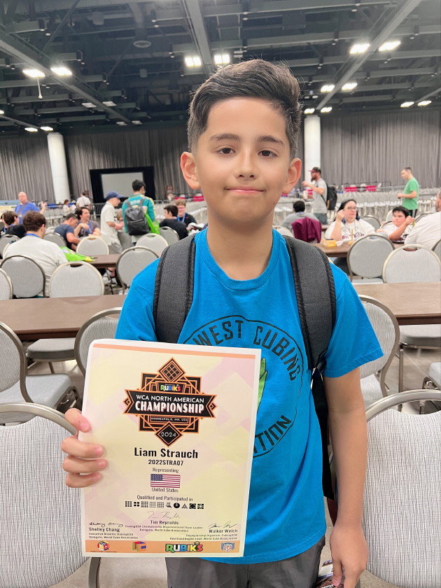
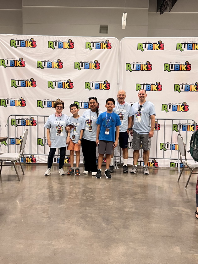
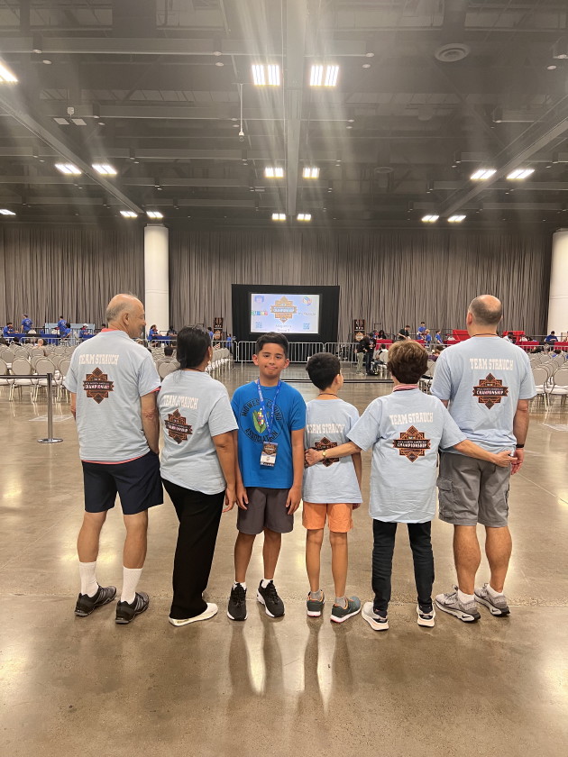
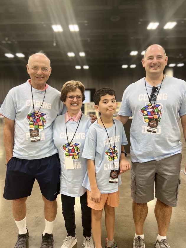
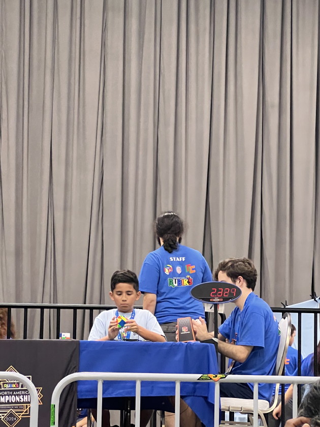
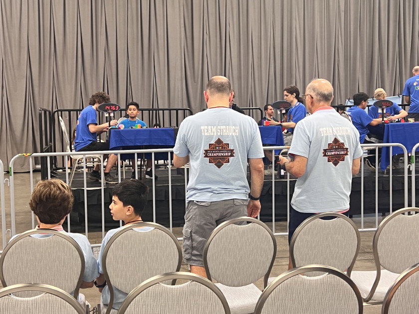
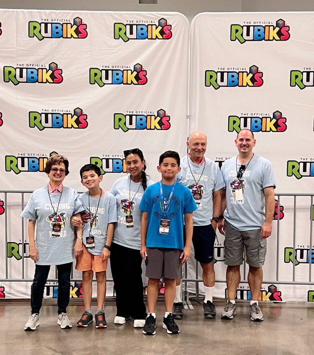
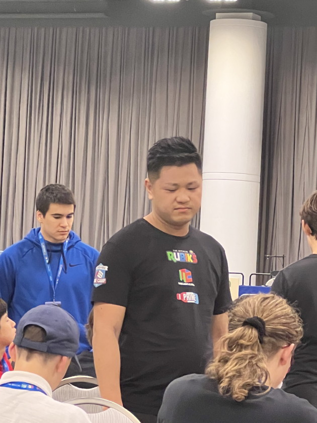
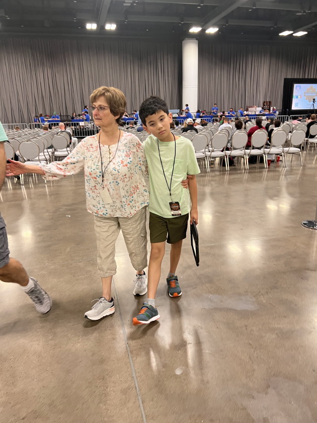
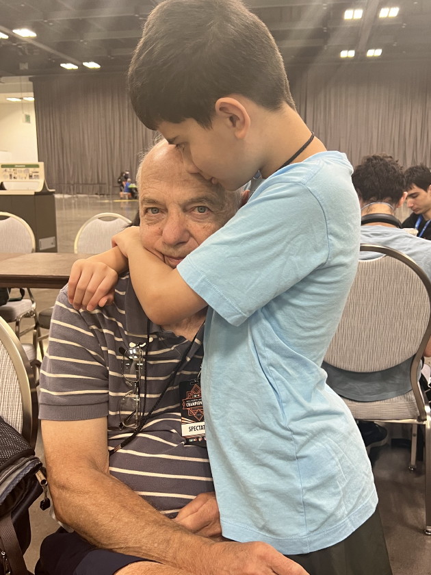
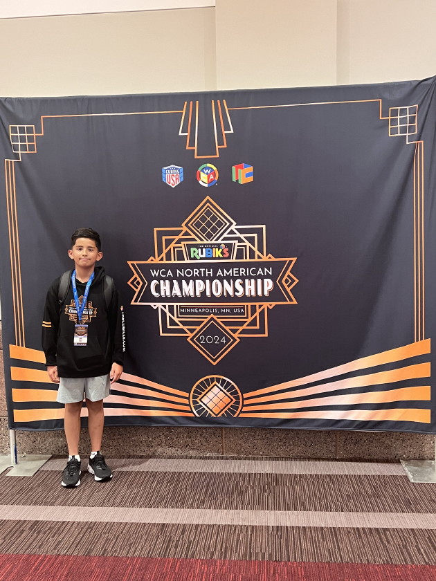
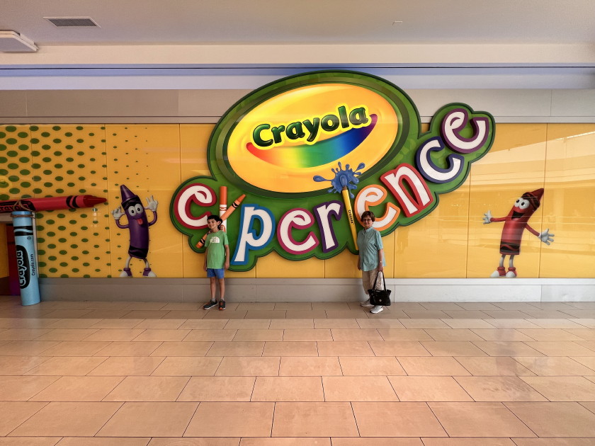
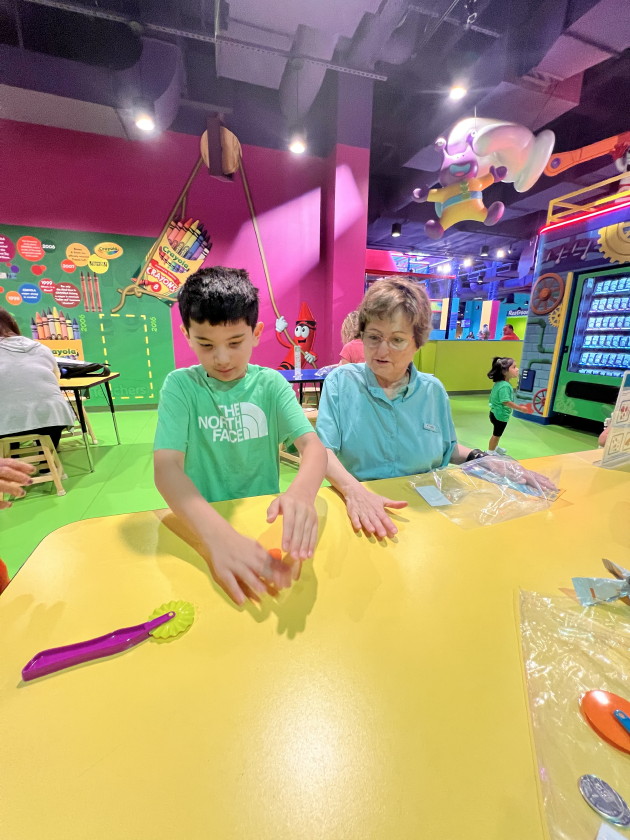
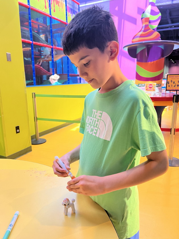
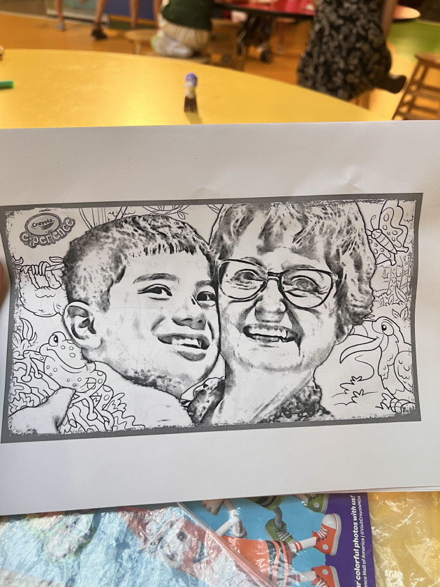
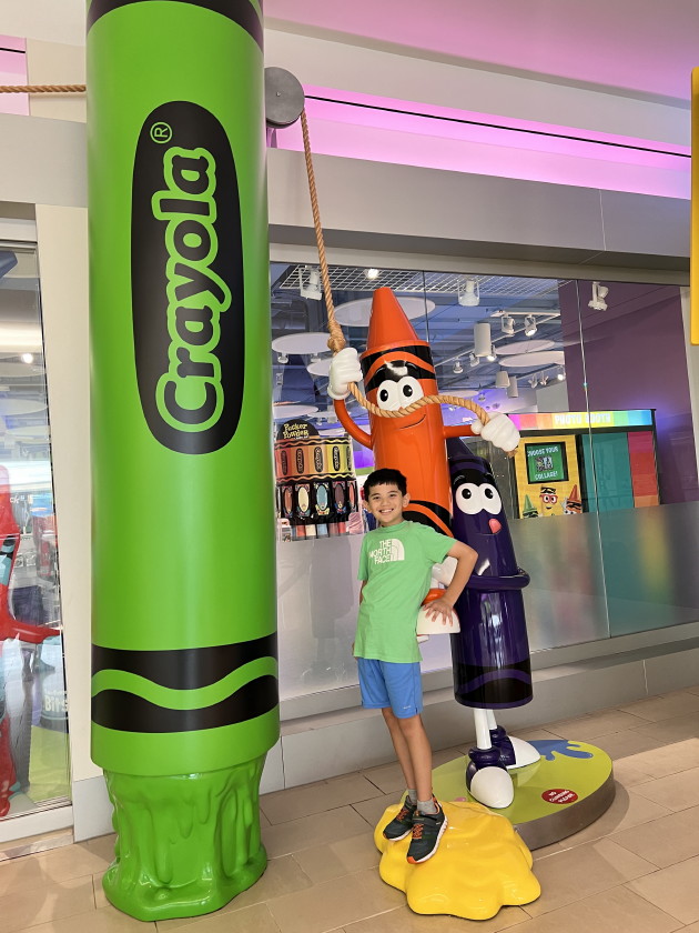
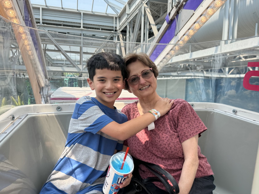
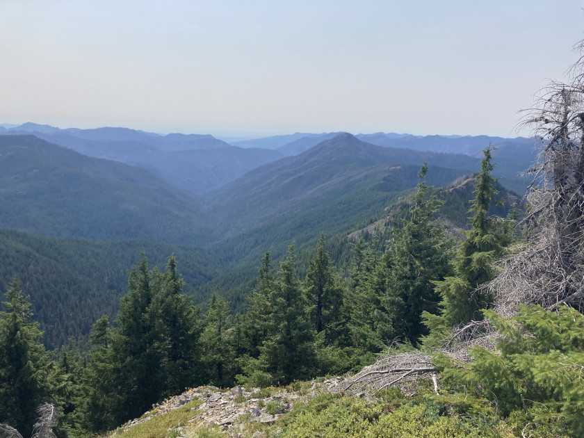
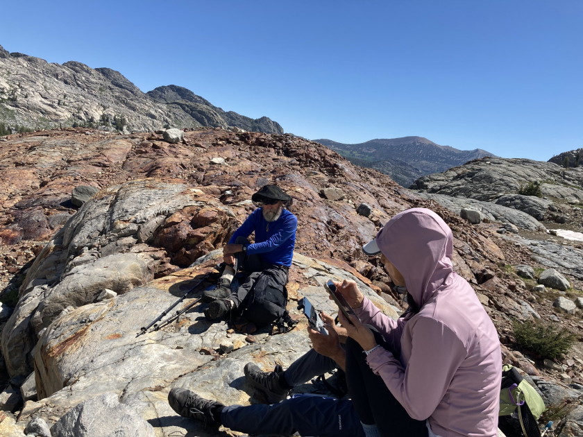
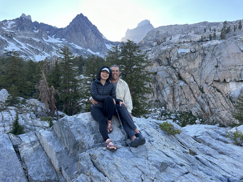
7/12&14&17-22&26-29/2024 Battle Axe Mountain loop hike 6 miles 1800 feet checking out Elk Lake campground and first 2 miles for annual backpack, no smoke compared to two weeks later; Laura's milestone 75th birthday; Trip to Minneapolis, visit Tim and Sharon at their beautiful house on Lake Lucy in Chanhassen: Tim and Tom do a 20 mile bike ride on all the nice bike paths they have around there; fun trip on the lake on their pontoon boat; driving thru old neighborhoods from back in the 70s, George Floyd's monument near his last spot, Tim and Sharon's first house, 3039 Bryant Ave apartments where we all met including Grant and Ann too, our first house where Matthew lived for his first 3 months, Tim and Sharon's daughter Michelle, Sean, Ruby, their grandkids Parker, Cole and Blake, downtown Minneapolis with the IDS tower and Hennepin County building where Laura worked back in the 70s; Liam goes to the US National Cubing 4 day Tournament with all of us cheering him on at the Minneapolis Convention Center; we all stayed at the Radison out at the Mall of America; Colin skipped a day of the tournament to go the Crayola Experience with Nana, Olivia and Tess while Matt and Tom stayed with Liam at the tournament; the last day we did some rides at Mall of America which the kids enjoyed; 41st annual backpack in the Bull of the Woods Wilderness near Detroit, Oregon see log below. Google Photos
Liam's Cubing WCA (World Cubing Association) stats
Tom's log of 41st Annual and Dave Avera Memorial
Backpack
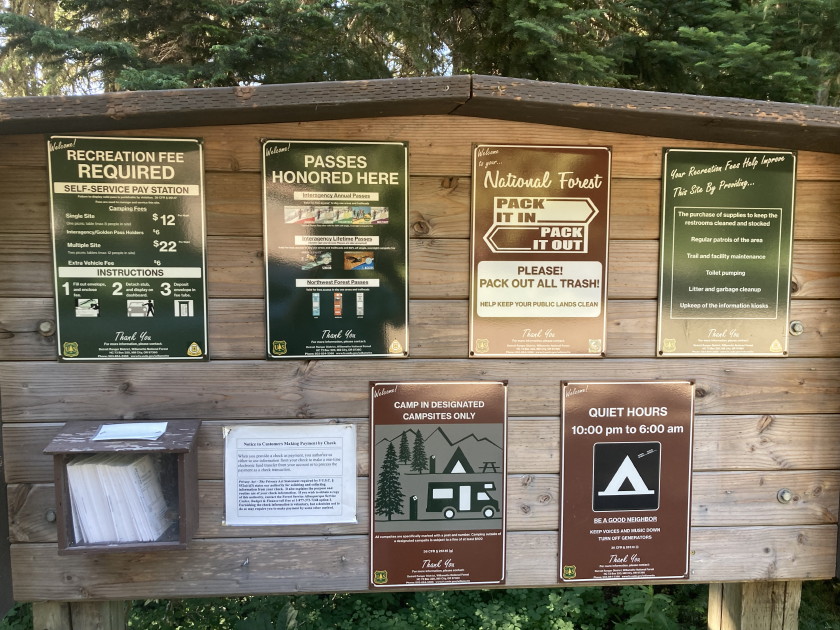
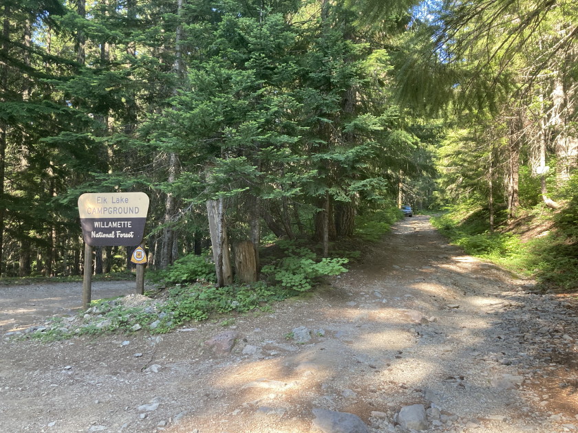
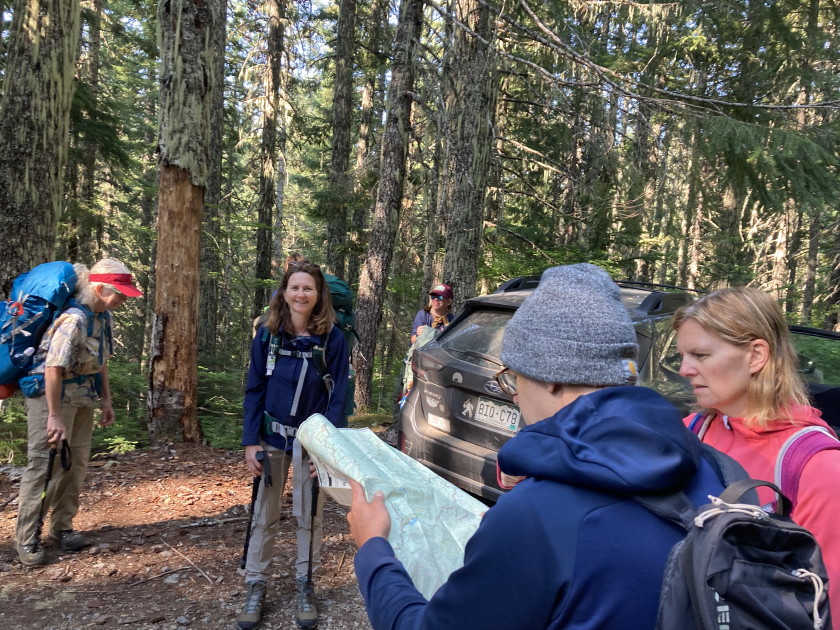
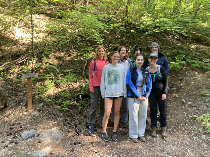
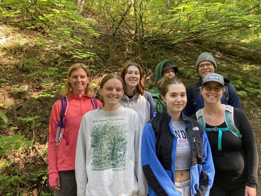
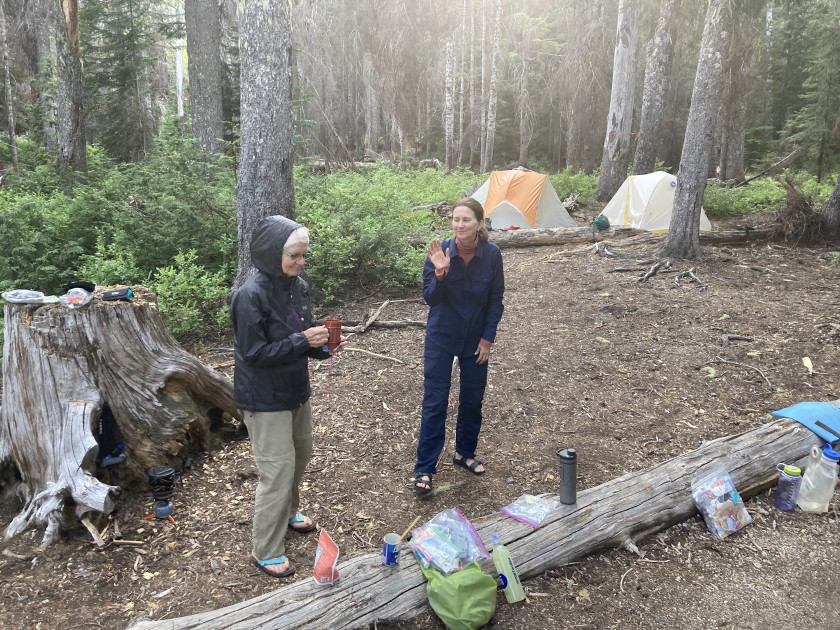
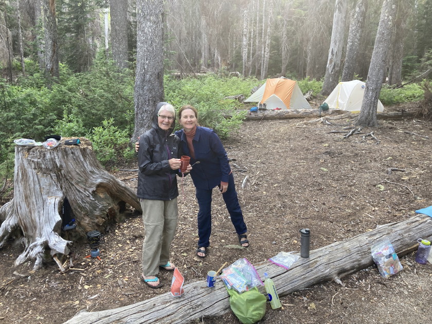
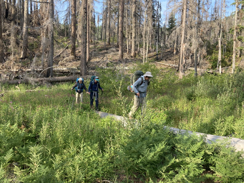
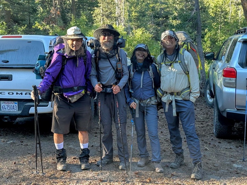
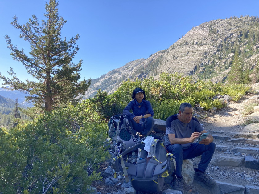
Friday July 26 - We all met at the trailhead parking near Elk Lake campground at
9am. Originally we had 10 backpackers and 7 day hikers but Holly and Michael got
sick and had to back out at the last minute. Then Janet decided to stay with
them in Seattle so Tim drove Michael's car down alone. Caty (Dave Avera's
daughter) and Sully (Caty's son) started out with us but after a mile or 2 Caty
started getting sick so they decided to bag the backpack and head back for the
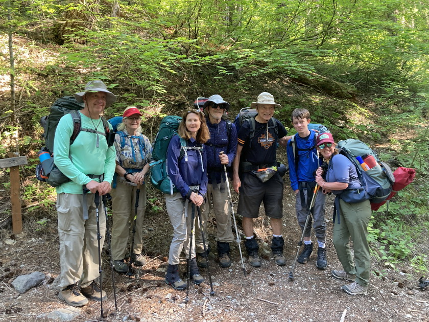
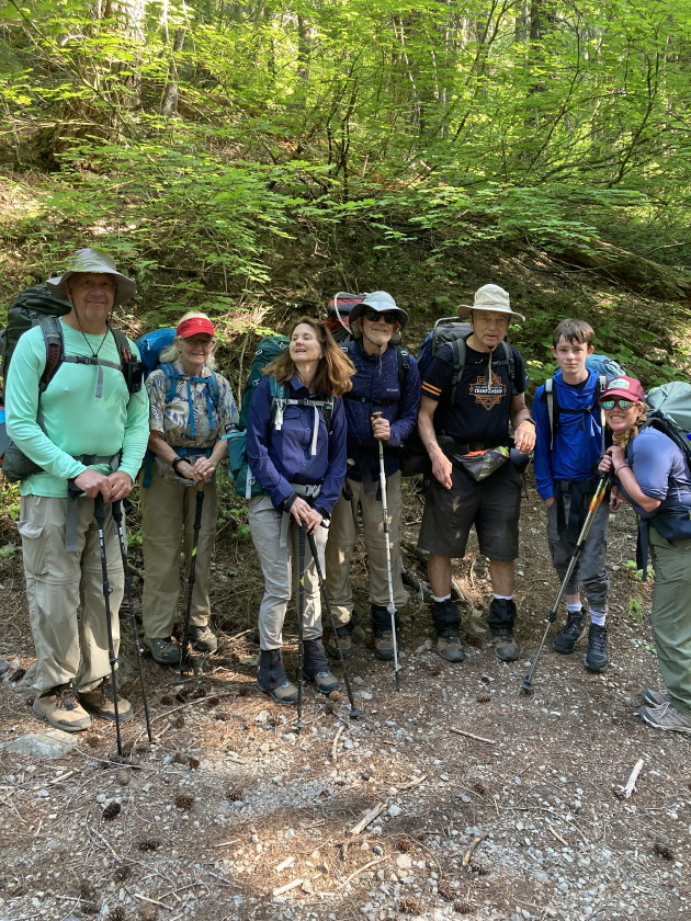
long drive to Colorado. That left 5 of us backpacking Wendy, Jean, Tim S, Mark
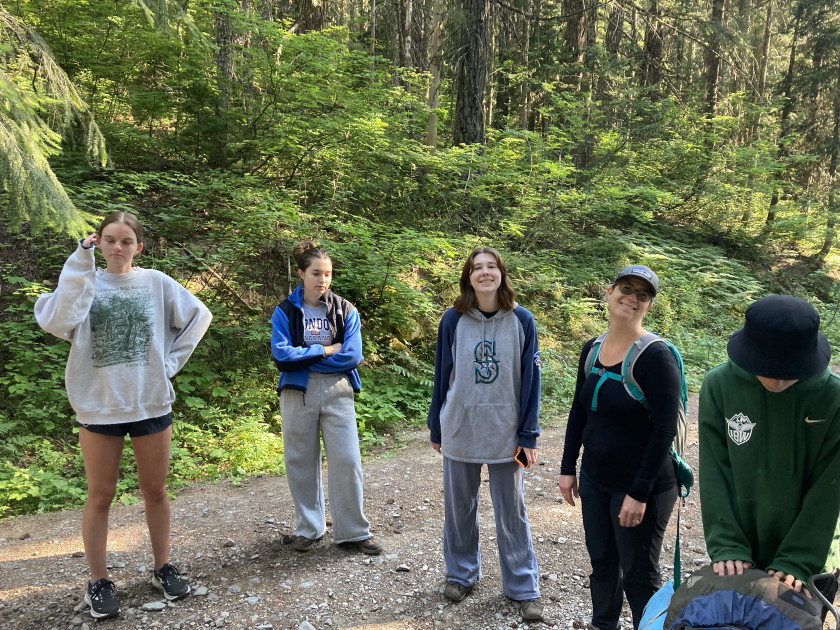
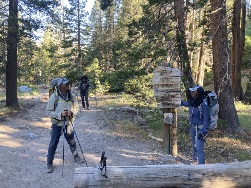
and Tom. The seven Day hikers were Aaron, Addy, Liz, Teagan, Molly, Julie and
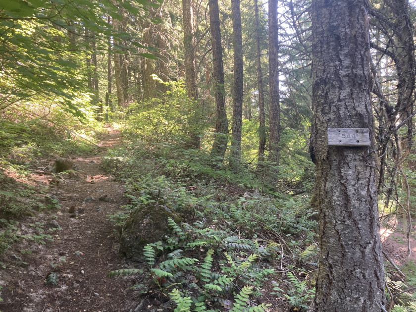
Tim L all staying a couple nights at the Elk Lake campground. They hiked in the
Bagby NF trail #544 with us a mile or 2 but Molly and Tim L finished the loop
that went up Battle Axe Mountain while the others returned on the same trail.
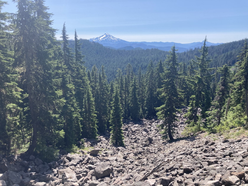
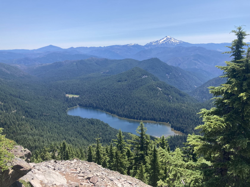
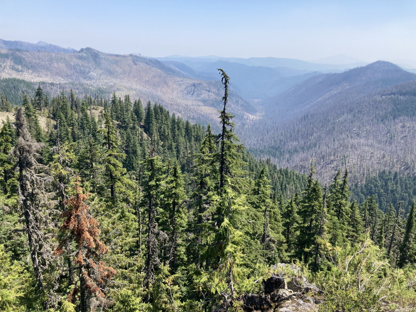
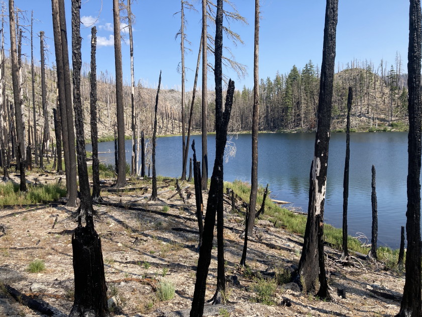
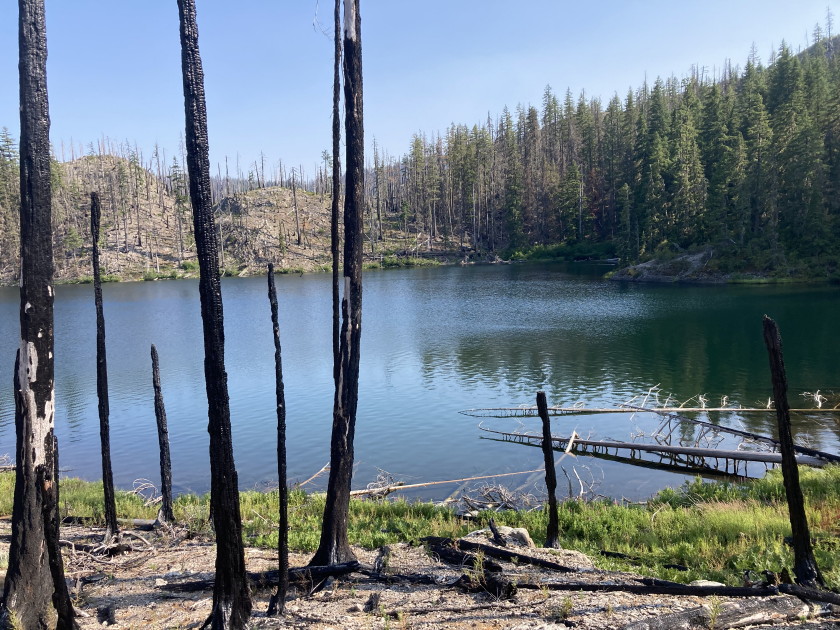
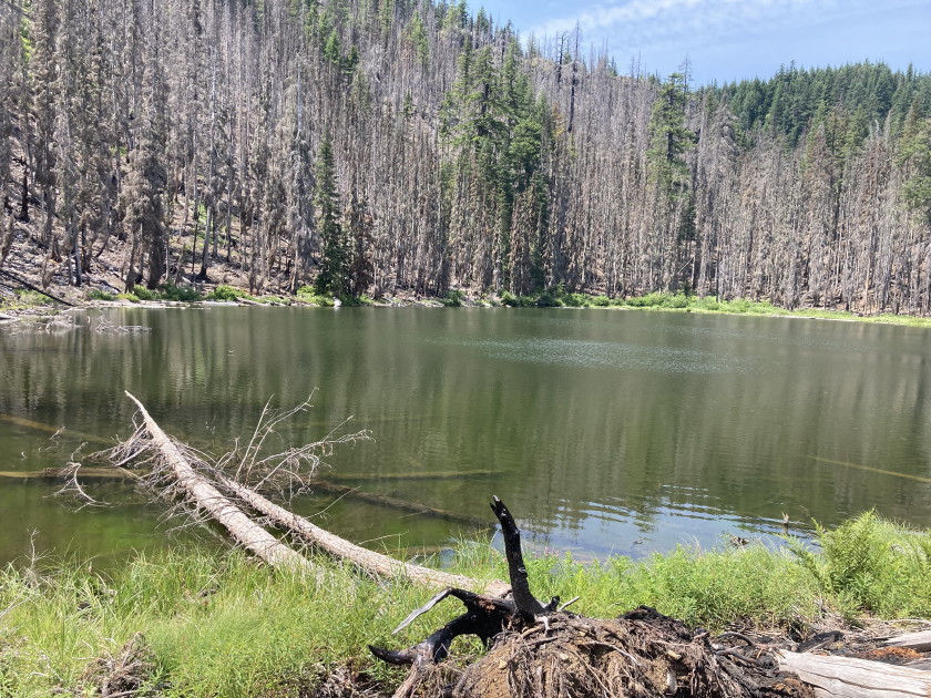
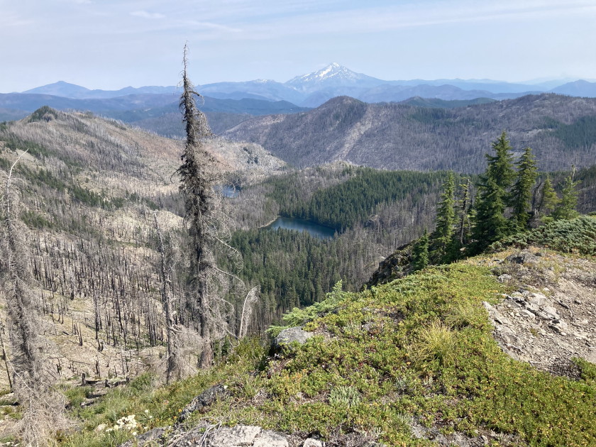
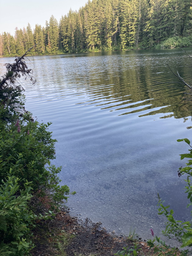
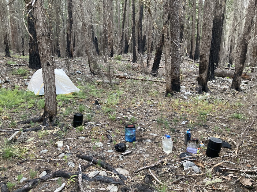
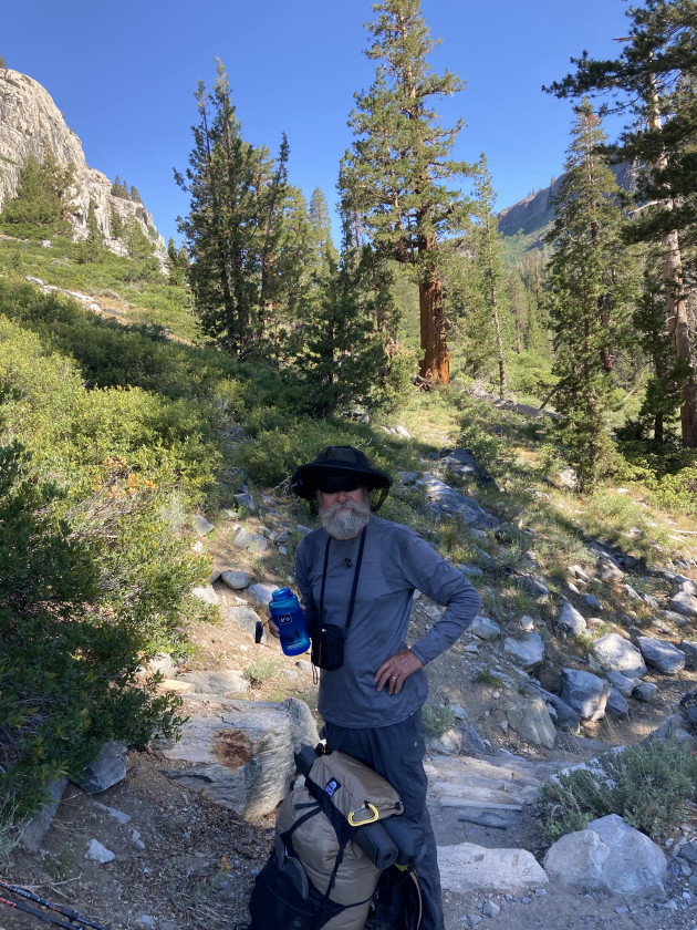
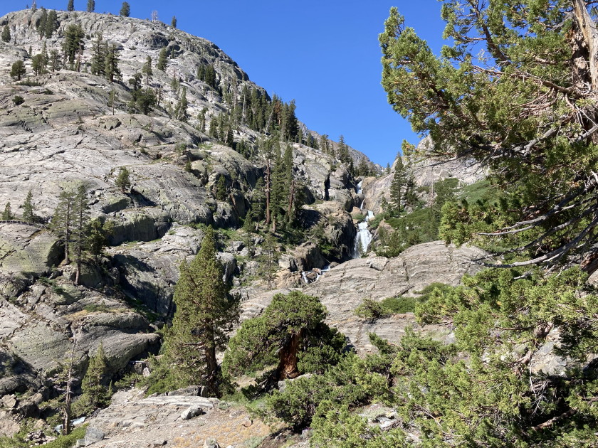
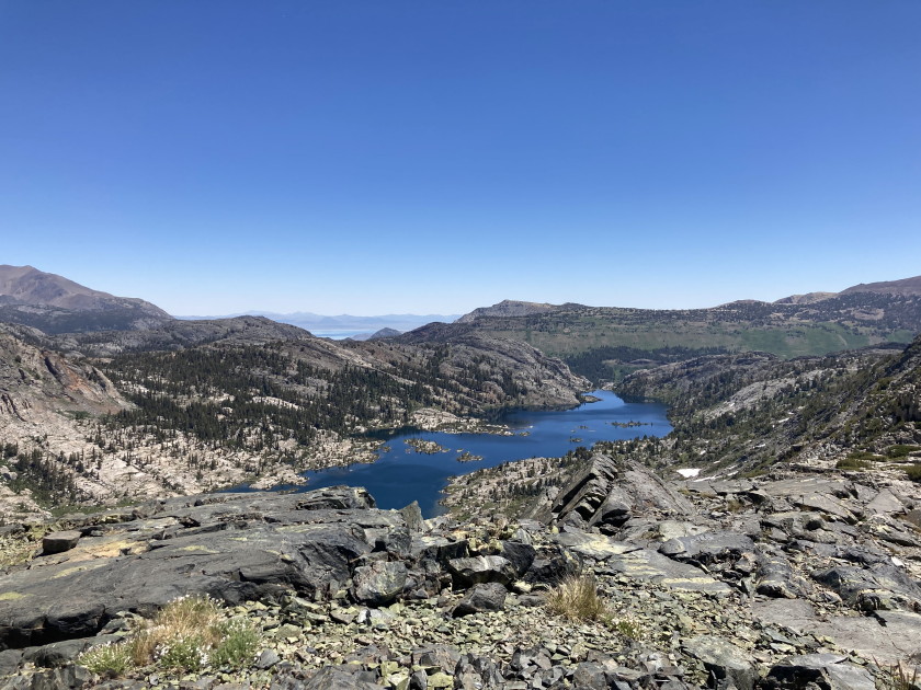
That left the 5 backpackers hiking in 6 miles to the upper Twin Lake. As we got
close to the lake there were some burn areas but once we got to lake it was like
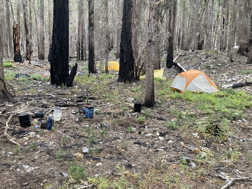
a green oasis in the burn area. There were 3 good campsites on the lake and we
took the biggest and nicest one setting up our 5 tents. We did not expect to see
anybody else but as we were setting up 3 more backpackers showed up and stayed
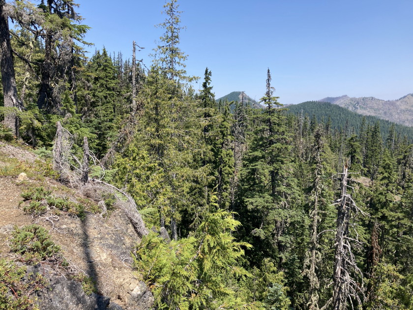
at the first campsite. The trail was not very well maintained and was very over
grown. The water was very nice for swimming and we even had a nice gravel beach.
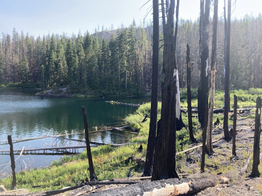
After setting up camp, Tom hiked over to lower Twin Lake a half mile but that
lake was in bad shape from the fires and the trail was pretty much gone with
tons of dead burnt trees which were hard to get around.
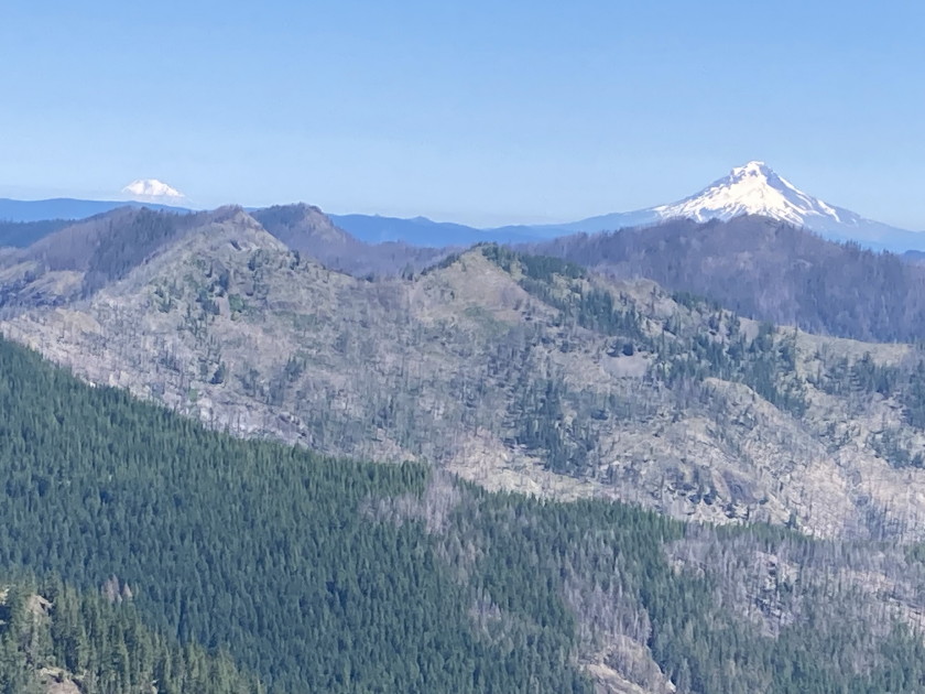
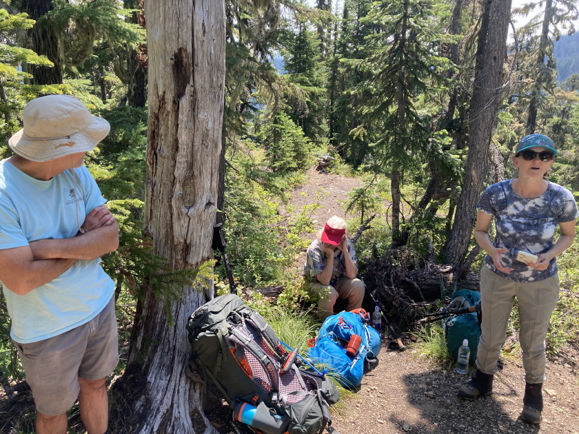
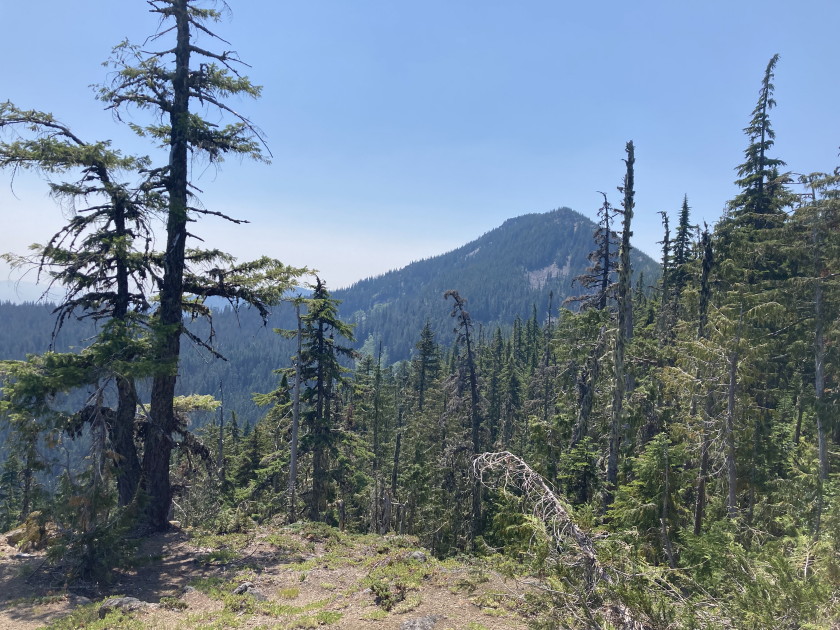
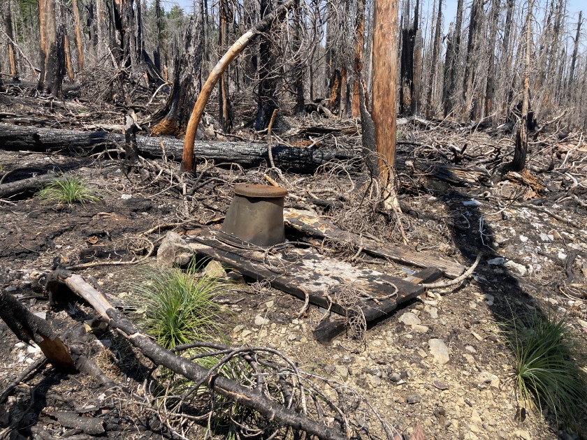
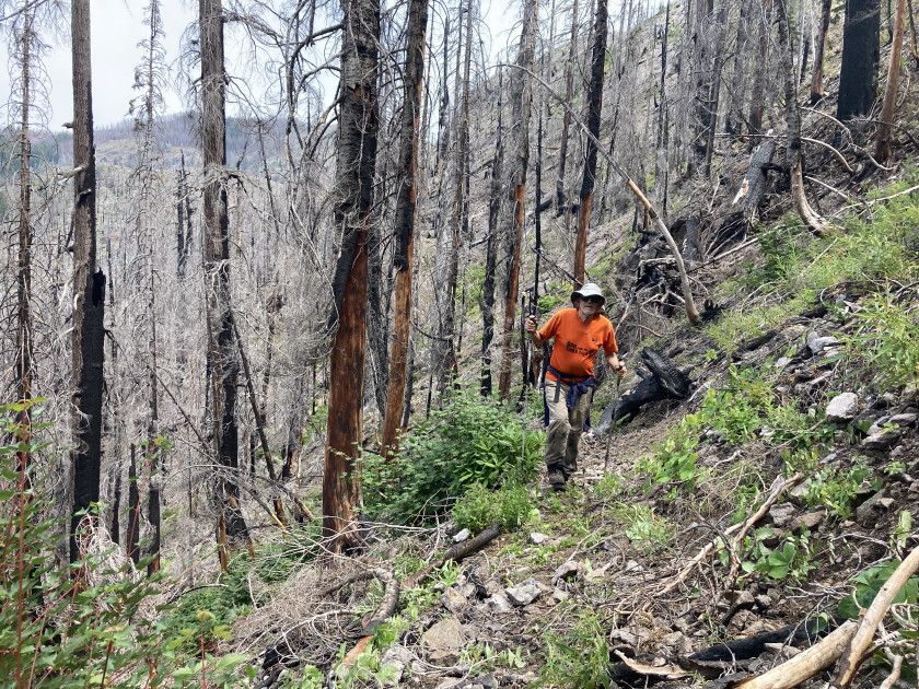
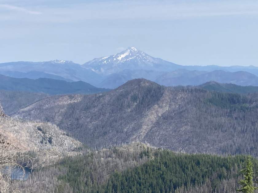
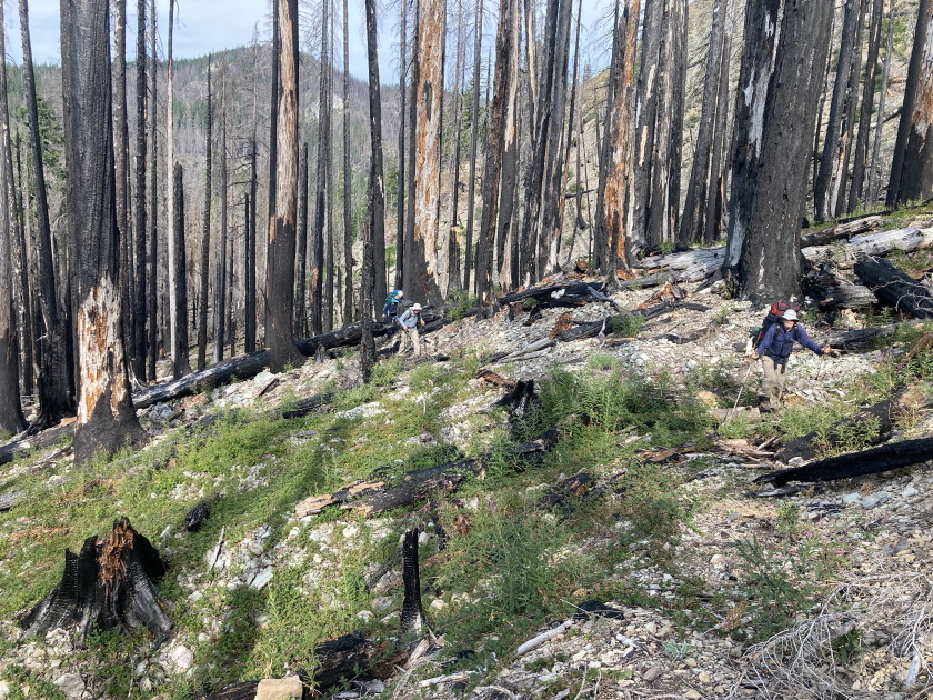
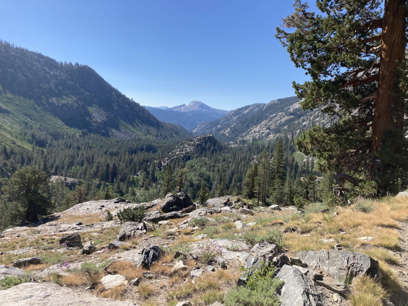
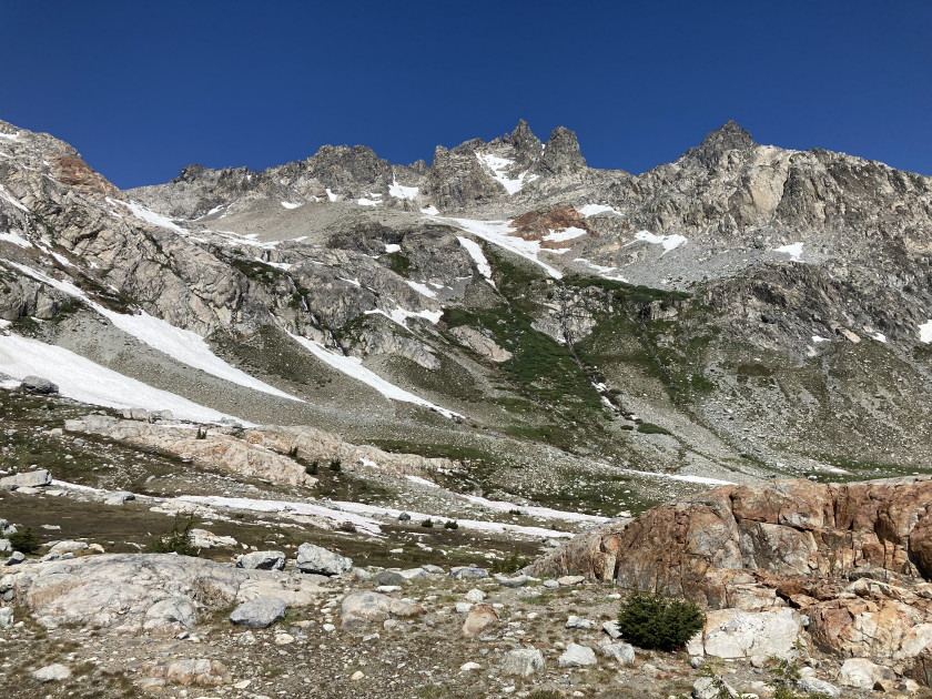
Saturday July 27 - The plan was to day hike over to Silver King Lake. It was a
mile and a half back to the junction with Bagby #544 and Twin Lake #573 trails
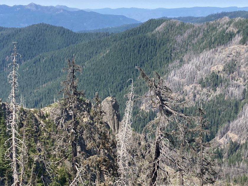
then we continued on a couple miles down the Bagby trail. Once we hit the burn
area on the other side of Silver King Mountain then the trail got bad. We did a
lot trail clearing except the trees that were too big to move. The trail
descended 700 feet on switchbacks and was difficult to do because of all the
debris. We tried to drop down to a pond but it was a swamp so Mark, Jean and
Wendy headed back to camp. Tim got on the trail by bushwhacking around all the
debris and Tom met him. The two of us got to the supposed junction for Silver
King Lake but there was no real trail. We just had to follow Alltrails map on
our phone just for a tenth of mile up a steep slope to get to Silver King Lake.
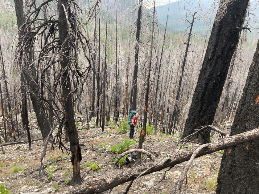
It is amazing the way the fire destroys the trail and makes it look like a war
zone with big holes and big downed trees all over the place. On the way back to
camp Tom bushwhacked up and down Silver King Mountain which is the high point in
the area.
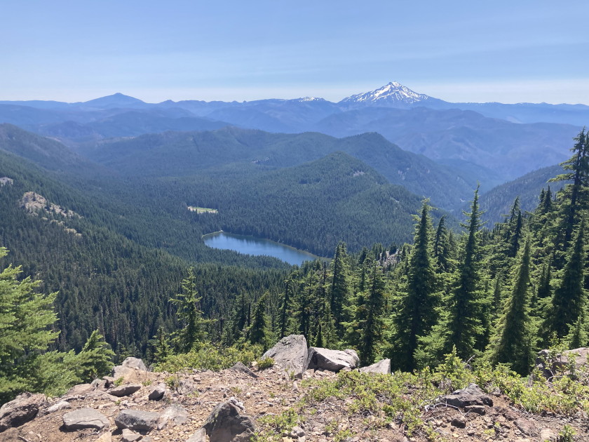
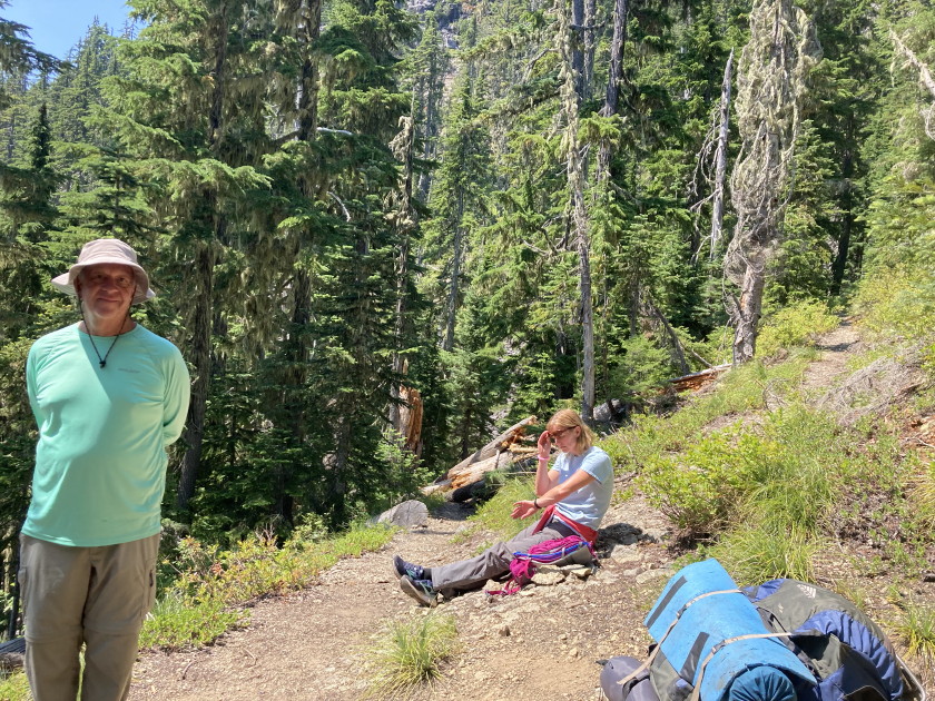
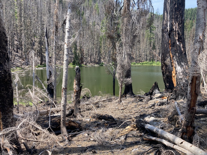
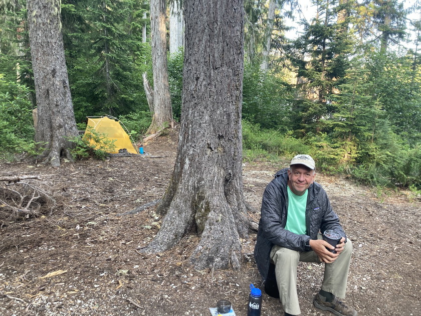
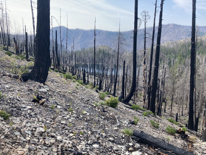
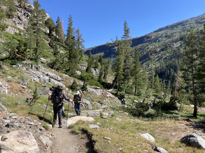
Sunday July 28 - We had to decide if we were going to try to complete the loop
we originally planned or go back the way we came in which we knew was not a bad
trail. We decided we were up for the challenge even though we would be going
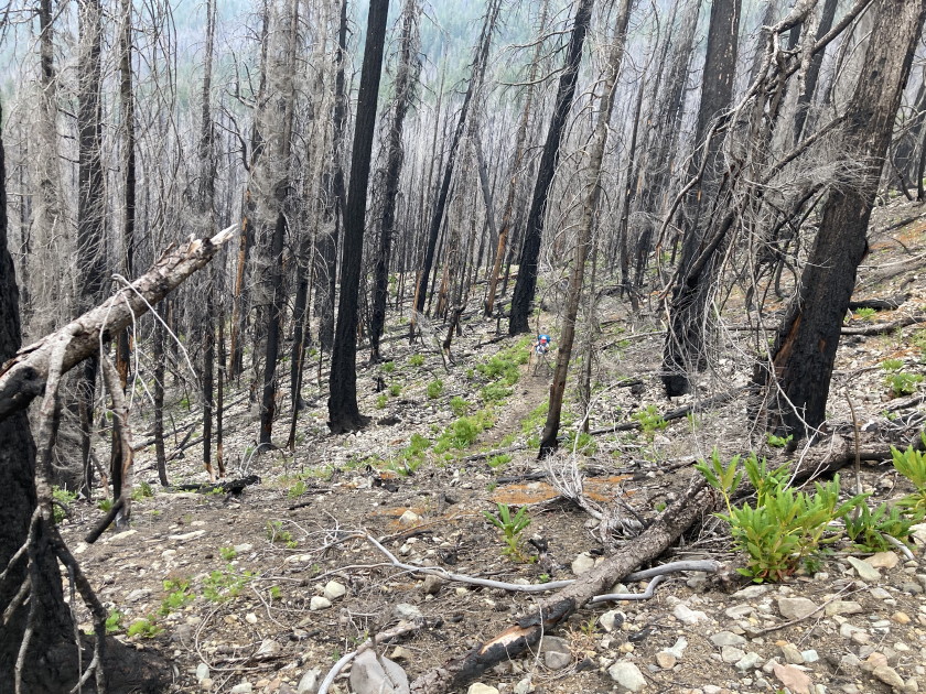
thru a big burn area. We packed up our gear and hiked 5 miles over to the Elk
Lake Creek #559 Trail. The first couple miles thru the burn area were not too
bad hiking up the side of a ridge. It had the usual number of burnt trees (a
lot) we had to jump over with our full backpacks but at least we had a trail.
When we hit the junction of the Mother Lode #558 trail and the end of the Twin
Lakes trail, the trail pretty much disappeared and was difficult going around
all the burnt downed trees. Again we just had to follow the Alltrails map on our
phone. Mark had his GPS to make sure we had another device to keep us on the
right path. We were getting pretty worn out and making slow progress plus the
area was getting smokey. Wendy was concerned there might be a fire in the area
and we discussed how we would handle the situation. Mark had a Garmin InReach
and we could always use the device to send a SOS and it would give them our
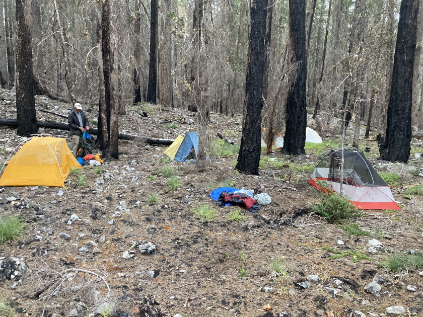
coordinates. It took us 11 hours to go 5 miles and once we crossed the Mother
Lode Creek, we decided to camp there even though it was not that nice a campsite
about a half mile from our original plans but it was already 7pm and every one
was worn out from climbing over burnt debris. Since it was our last night out,
it was Spam night and Tom cooked up a can of it and shared it with everyone. It
hit the spot. We were glad to climb into our tents and sleeping bags plus the
wind blew the right way and the smoke cleared up.
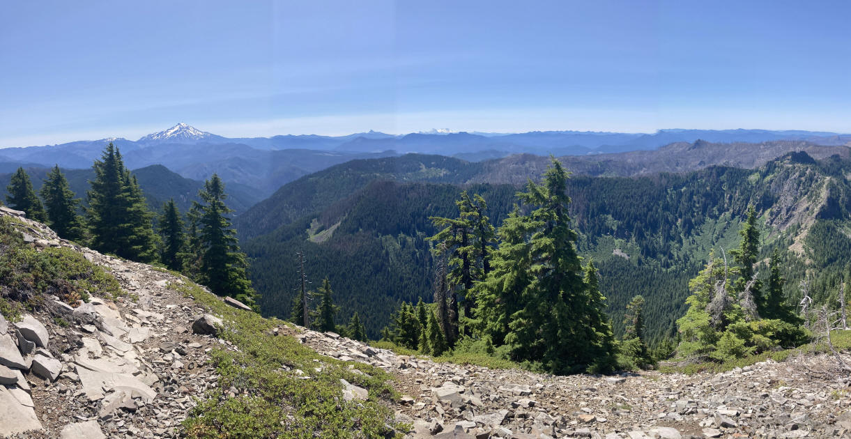
Monday July 29 - We were worried the 5 mile hike out might be as bad as the
Mother Lode trail. We are still in the burn area and hiked a half mile to where
we had planned to camp on Elk Lake Creek. It looked like a nice campsite and
then we hit the Elk Lake Creek trail. Still no sign of an obvious trail but when
we headed up this one slope from the junction, the trail appeared. We were all
relieved and the trail was pretty good all 1100 feet and 5 miles up to Elk Lake,
the usual downed trees but not too bad. The weather has been good on the trip
but then today it started to rain. It did keep us cool and wet on the way out
especially rubbing against all the vegetation once we got out of the burn area.
Half way up Tom decided to book up the trail so he could get the car which was a
half mile from the Elk Lake trailhead. Tom got out by 11:11am and everyone else
followed 50 mintues later. It was a challenging backpack but very interesting
seeing the damage from the fires three years ago. There were plenty of
huckleberries, black raspberries and thimble berries that we enjoyed along the
trail, some of the first vegetation to come back after the fire. No serious
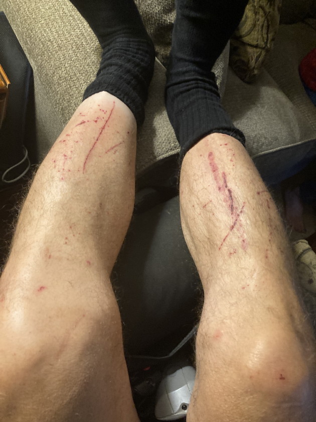
injuries but a lot of scraps and bruises trying to climb over all those trees.
Everybody did very well and was always willing to help each other when we would
get stuck. Definitely a memorable backpack! On the drive out we had a delicious
lunch in Detroit at Mountain High Teriyaki and then Mark headed back to
California and we all headed home.
Mark's GPS mileage
Fri 5.8
Sat 8.7 - day hike
Sun 6.5
Mon 6.2
Total 27.2 miles
Tom's iphone mileage
Fri 8.7 1200 feet
Sat 8.1 1100 feet - day hike
Sun 5.4 800 feet
Mon 5.9 1200 feet
Total 28.1 miles 4300 feet most with a heavy pack

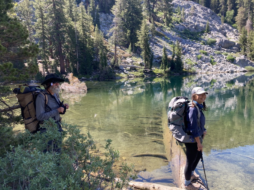
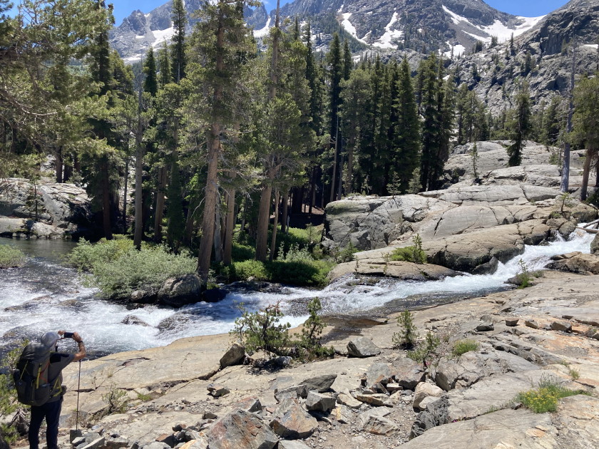
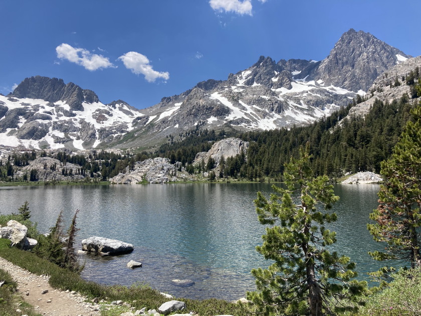
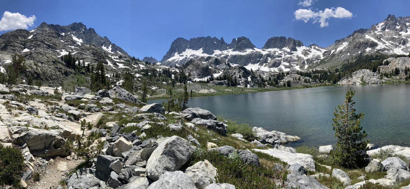
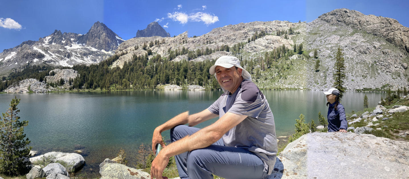
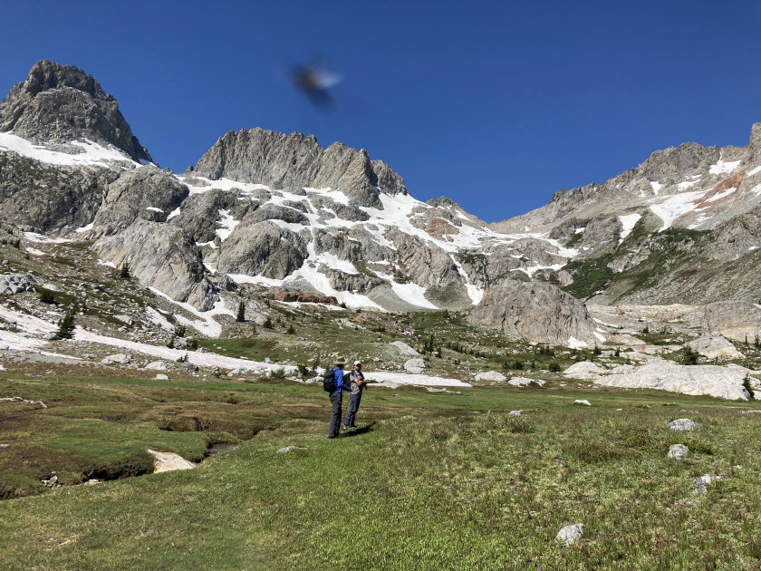
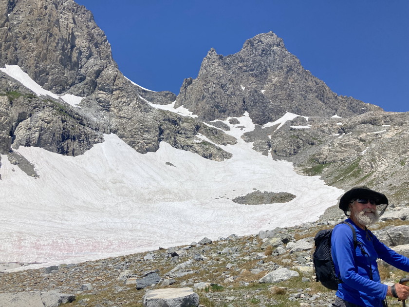
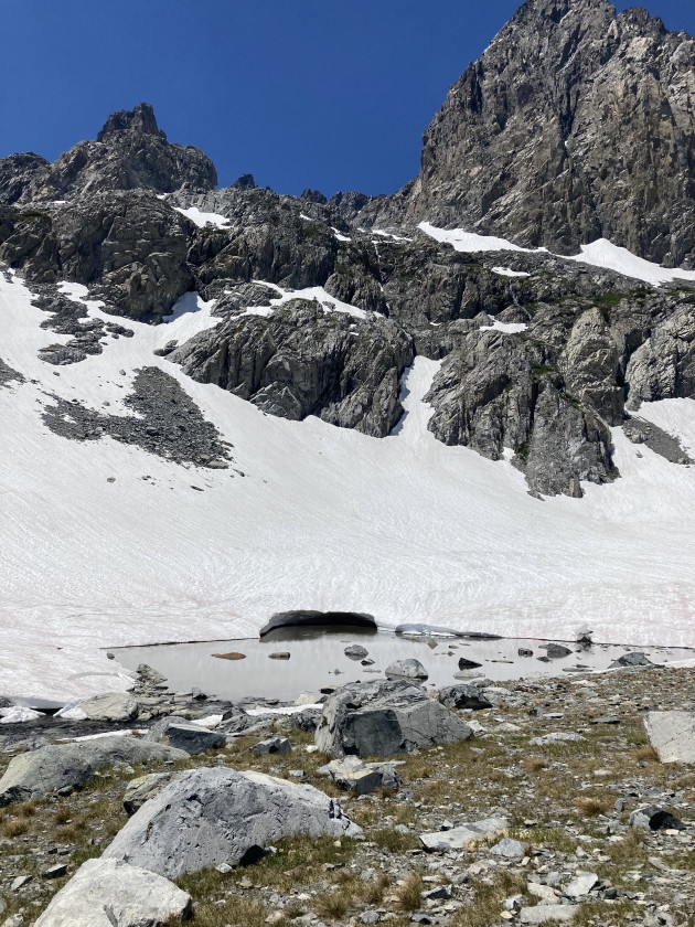
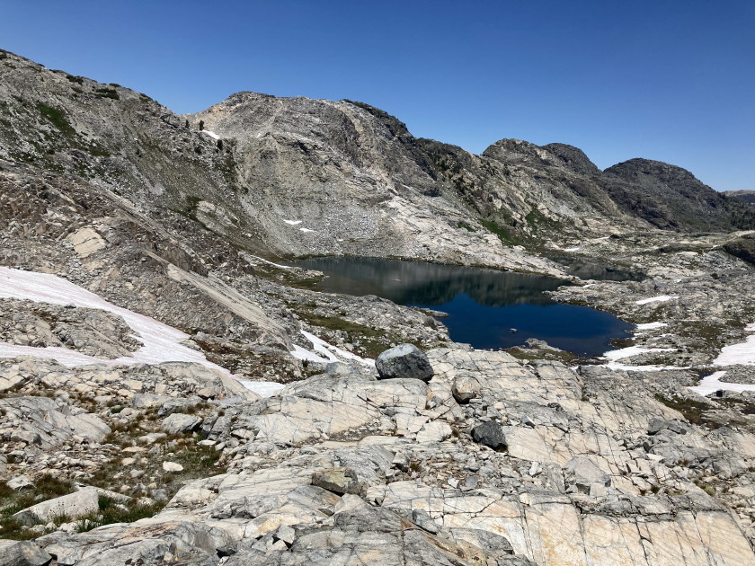
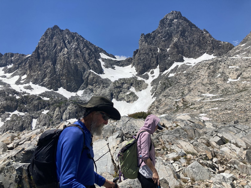
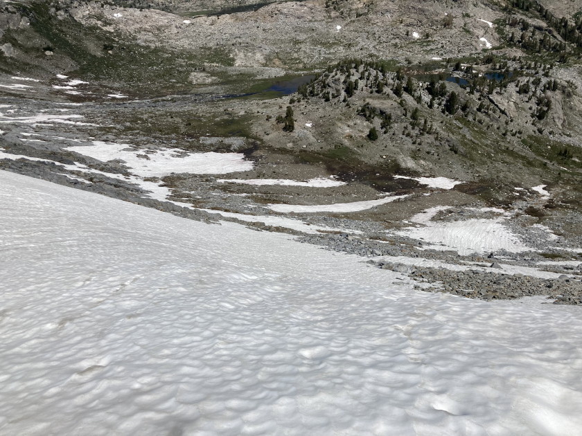
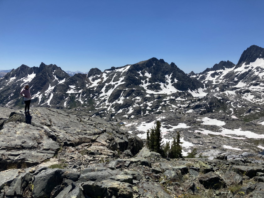
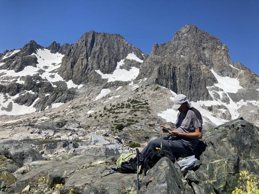
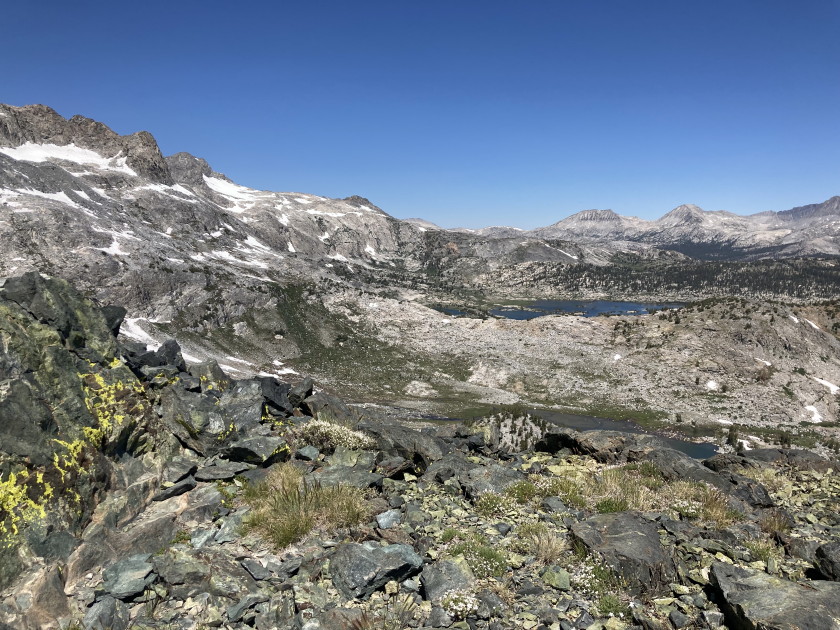
7/3-7/2024 Backpack in the Sierra's with Larry, Ziv and Elle. Google Photos
Some of Ziv and Elle's cool videos:
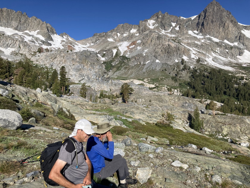
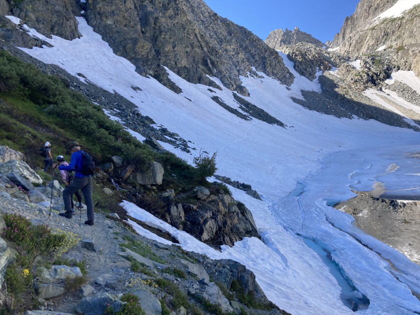
Larry and Tom crossing a snow field
Ziv, Elle and Tom at one of Larry's highpoints drone video
Interactive 360 drone video of Banner and Ritter Peaks
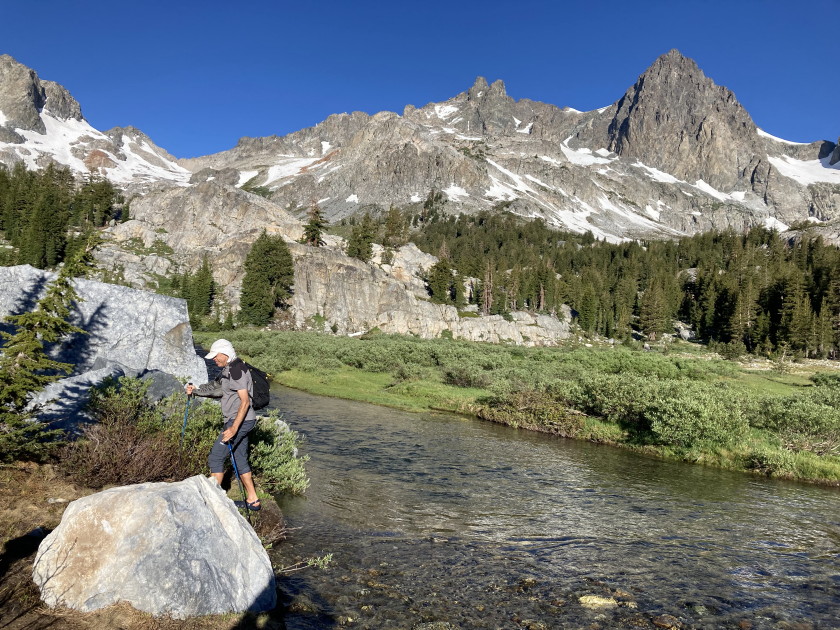
Tom crossing Shadow Creek with a full pack
Interactive 360 drone video of Iceberg and Cecile Lakes
Drone video zooming out from our campsite and Tom's tent
Sierra July 4th Backpack log
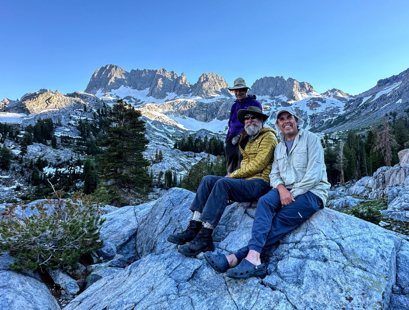
Wednesday July 3 - Left work a little before 3pm and drove 11 hours to the trailhead arriving at 1:49am. Slept in the back of my Outback and met Ziv, Elle and Larry around 7 the next morning.
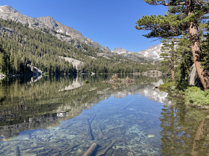
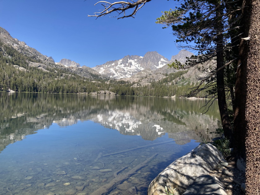
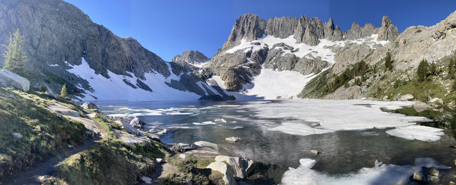
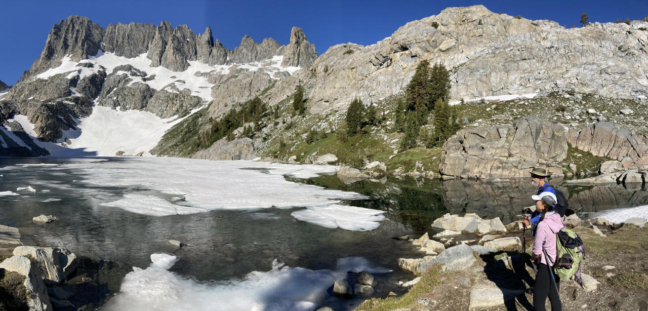
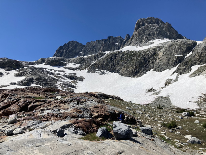
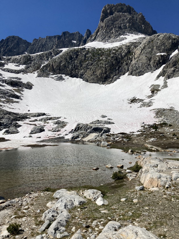
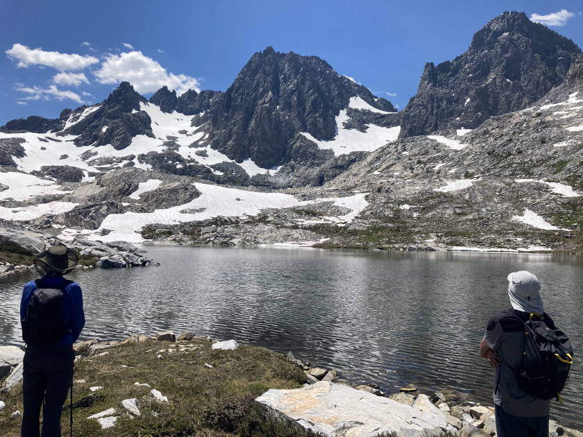
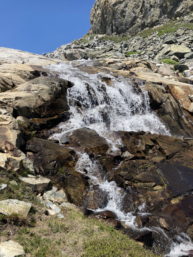
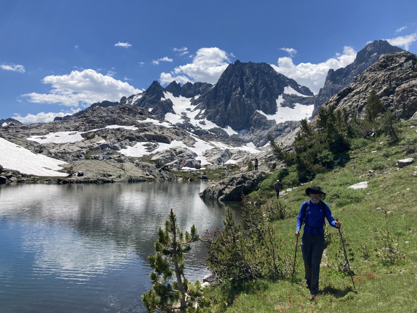
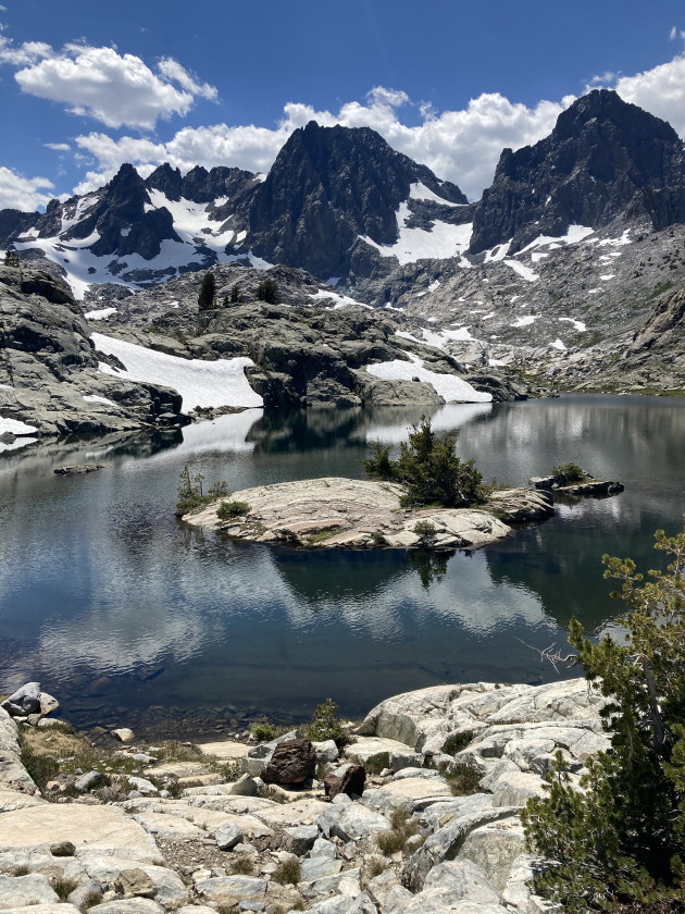
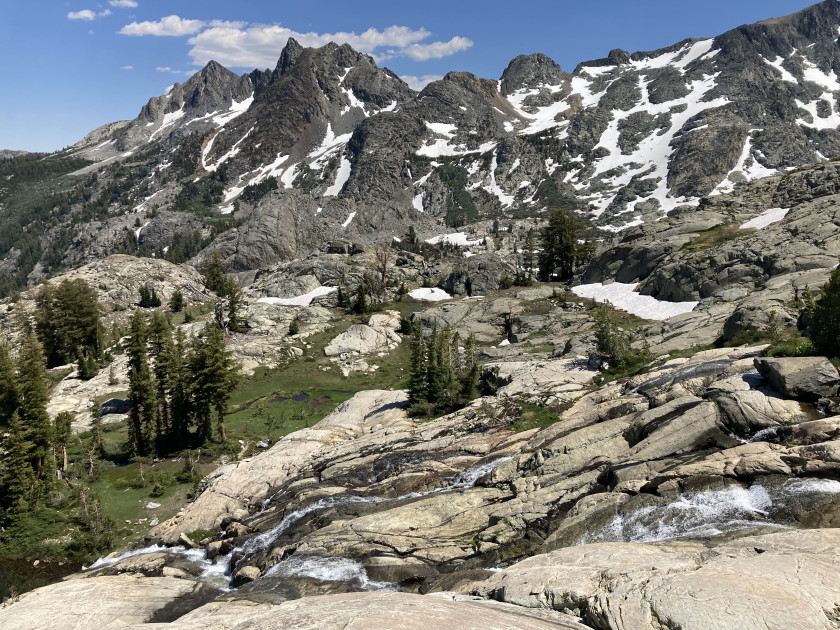
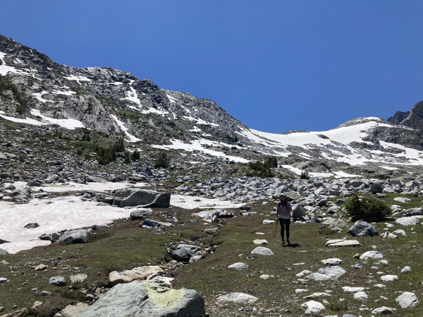
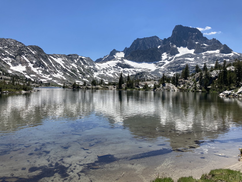
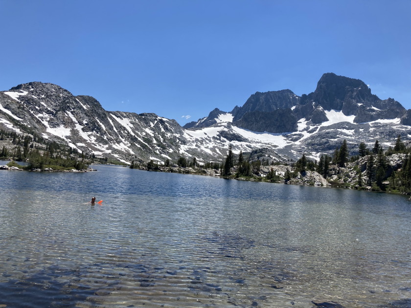
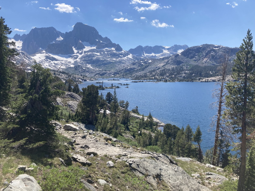
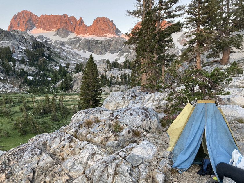
Thursday July 4 - Backpacked 7 1/2 miles 1400 feet into Ediza Lake where we set up base camp for 3 nights. A lot of mosquitoes so we had to use face screens and a lot of deet. Found a good campsite in the rocks where the bugs were not so bad. A lot of people at Ediza Lake but we got one of the best campsites. Beautiful views of all the mountains.
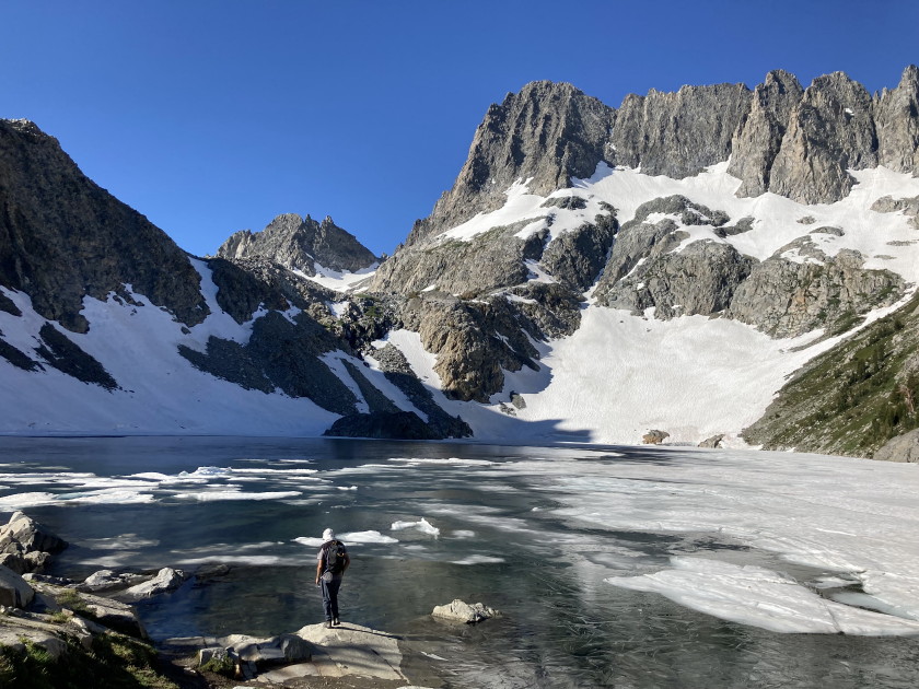
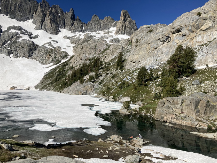
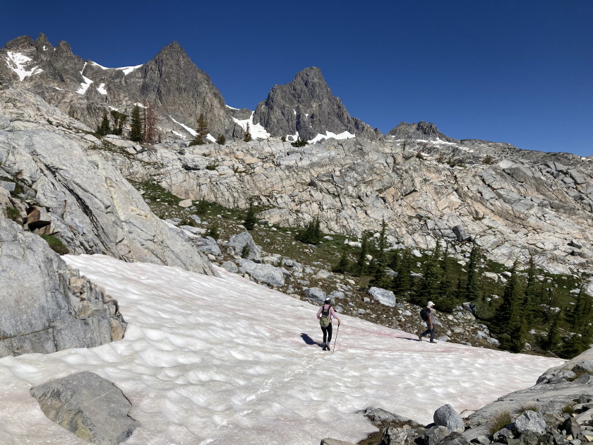
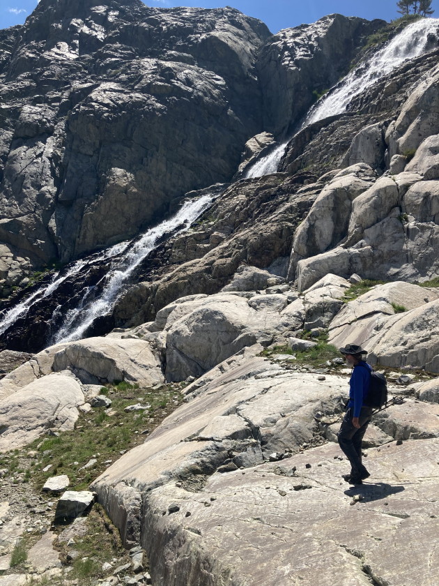
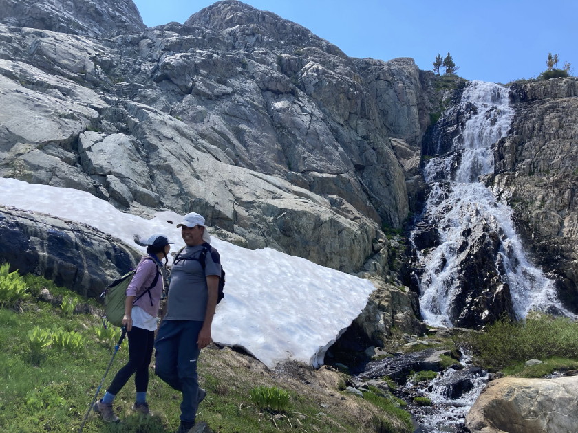
Friday July 5 - Dayhiked up to Iceberg Lake which was still frozen and decided not to hike to Cecile Lake because the large snowfield was very icy. Instead we bushwhacked over to Nydiver Lakes right under Ritter and Banner Peaks doing a big loop back to Ediza Lake 7 miles 1300 feet. Very cool loop but a little sketchy finding our way down to Ediza Lake.
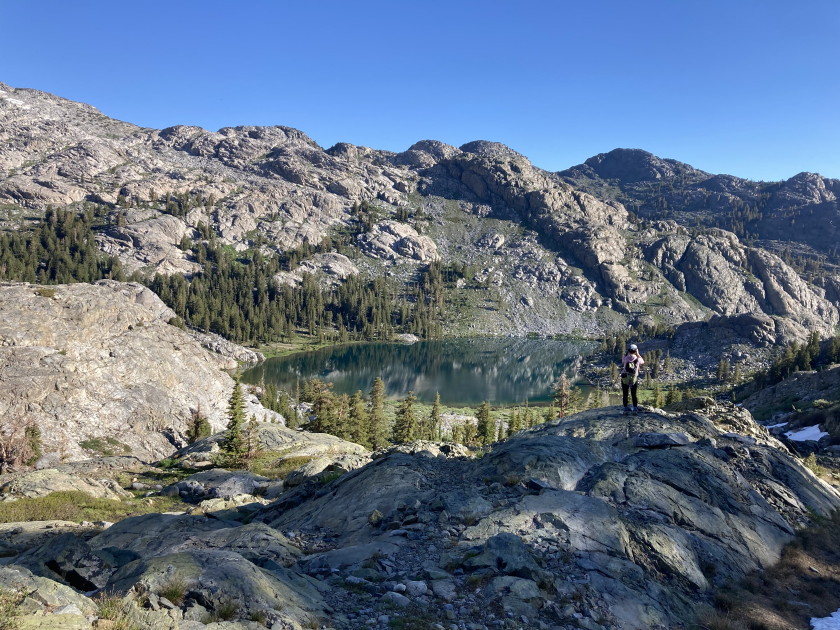
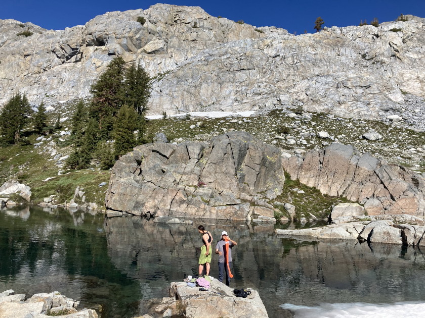
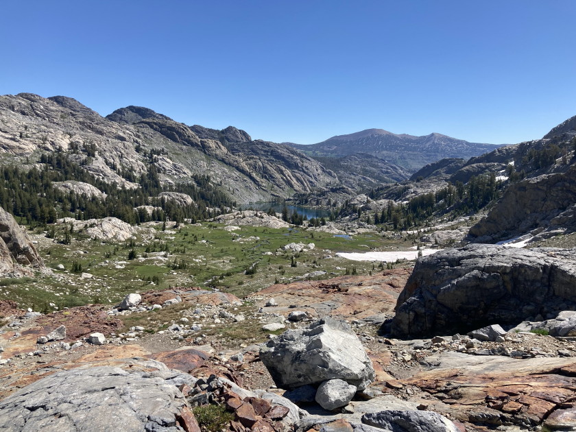
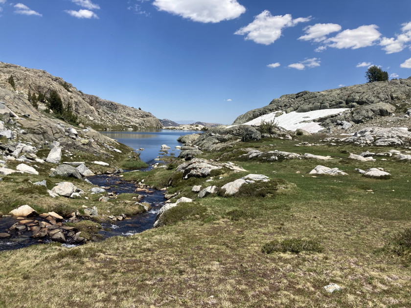
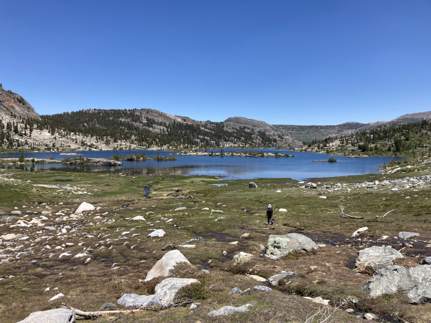
Saturday July 6 - Waited for Jennifer, a friend of Ziv and Elle, who was trail running up to meet us at our campsite around 8:15am. Jennifer joined us to climb up to 10,000 feet right under Ritter and Banner Peaks. She had to be back at work by 1pm so she jogged back down the 8 miles 2,300 feet she just came up. Ziv, Elle and I continued on bushwhacking to the pass above Nydiver Lakes at 10,500 feet. Larry did his own hike to Cabin Lake. When we got to the pass, the only way down was a steep snowfield. We decided to climb the highpoint, one Larry had marked, there going up the ridge. On the highpoint we had cell reception, so Ziv Facetimed his mother in Isreal and I Facetimed Laura, Kelsey, Matt and Colin. Once at the highpoint, it looked like we could bushwhack down from the next pass to Garnet Lake. It was tough but we made it. We hiked around Garnet Lake and found a good swimming hole where the water was not so cold. After going around Garnet Lake we had to hike back up another pass to get back to Ediza Lake but at least we were on trails. Tons of people on the JMT (John Muir Trail) and people hiking to Yosemite. Got back to camp at 6:15pm and had dinner, margaritas and spam. A long hike of 10.7 miles 2000 feet.
Sunday July 7 - Got up early at 5:30am, packed up my gear, had breakfast and backpacked 7.5 miles back to Agnew Meadows where our cars were, arriving at 10:30am. Drove 11 hours back home arriving before 10pm. Good hiking, beautiful weather, lakes and mountains with 3 good friends. I have been hiking with Ziv and Larry in the Sierra's for over 20 years.
Rainier_Glacier_Green_River_Raft_Trip
New York trip then off to Finland
Grand Canyon Raft Trip September 2022
Middle Fork of the Salmon Raft Trip August 2018
Grand Canyon Raft Trip September 2013
Matt and Olivia's Wedding August 18, 2012
Philippines Trip September 2011
Grand Canyon Raft Trip August 2011
28th Annual Backpack in Utah 2011
Kelsey's Circus Arts Graduation Week 2011
Sierra Backpack 2010 and Mt Adams
Later Summer and 27th Annual Backpack 2010
John and Bette's Wedding Weekend
Sierra Annual Backpack Big Pine
Later Summer 2008 including Mt Rainier
Summer 2008 including backpack
Grand Canyon Raft Trip March 2008
Mt Jefferson and Yosemite Backpack 2007
24th Annual Backpack Glacier NP
Mt Meru, Kilimanjaro and Safari January 2007
23rd Annual Backpack Wallowas Mts 2006 photos
22nd Annual Backpack in the North Cascades of Washington
John's Retirement Party 2005 photos